Day 5 – Thursday 9th September 2021
| Start Time | 7:04am |
| Total Distance | 30.61 miles |
| Elevation | 7694 feet |
| Total Time | 10 hours 26 minutes |
| Moving Time | 8 hours (16:06/mile) |
| Steps | 60016 |
📅 Thu 9 Sep 07:14👁️ E🌍 Click for Map
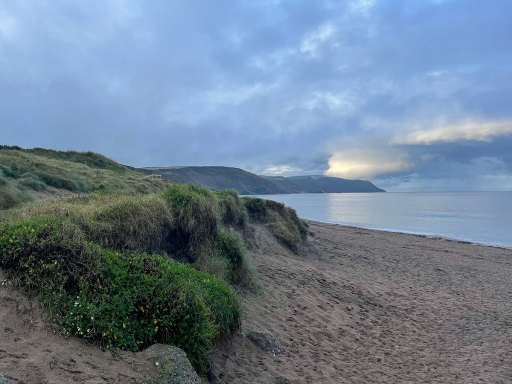
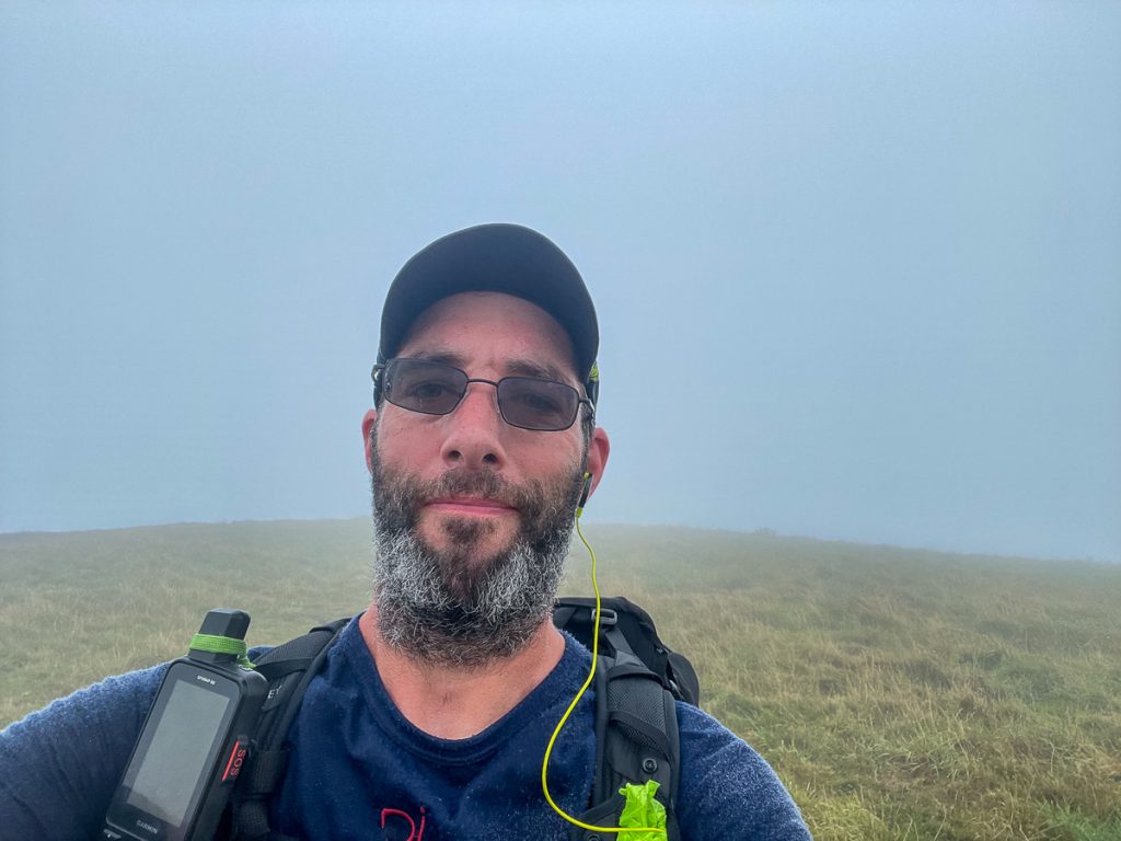
Back at it today with a vengeance! Chris and I were heading off at our own paces. He was going about half way to Boscastle and then catching a bus the remainder, while I was going to cover the route to Port Isaac on foot.
📅 Thu 9 Sep 07:14👁️ S🌍 Click for Map
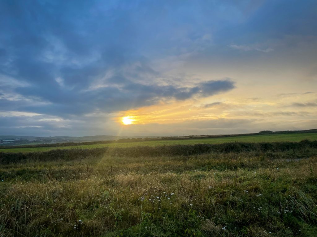
My head wasn’t entirely in the game for the first half an hour or so, but my body and legs felt good so I just let them get on with it.
📅 Thu 9 Sep 07:44👁️ E🌍 Click for Map
📅 Thu 9 Sep 07:44👁️ SW🌍 Click for Map
Soon I was on the road hill out of Widemouth, and then on the path towards Crackington Haven.
📅 Thu 9 Sep 08:02
📅 Thu 9 Sep 08:56👁️ SW🌍 Click for Map
📅 Thu 9 Sep 09:03👁️ E🌍 Click for Map
📅 Thu 9 Sep 09:27👁️ W🌍 Click for Map
📅 Thu 9 Sep 09:28👁️ NE🌍 Click for Map
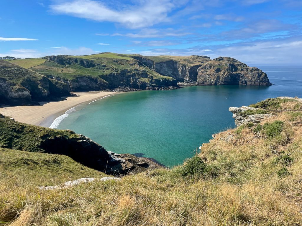
Having chatted with a guy who was on his last stretch of completing the Cornish section of the coast path and found out there was a decent café at Crackington Haven, I practically skipped my way the last mile or so to breakfast.

📅 Thu 9 Sep 10:05👁️ N🌍 Click for Map
And it was a delicious breakfast too! I was a bit worried I’d eaten too much, but 10 minutes out of the café and after a chat with a guy called Stefan I was storming along at a very decent pace.
📅 Thu 9 Sep 10:45🌍 Click for Map
📅 Thu 9 Sep 10:52🌍 Click for Map
📅 Thu 9 Sep 10:53👁️ S🌍 Click for Map
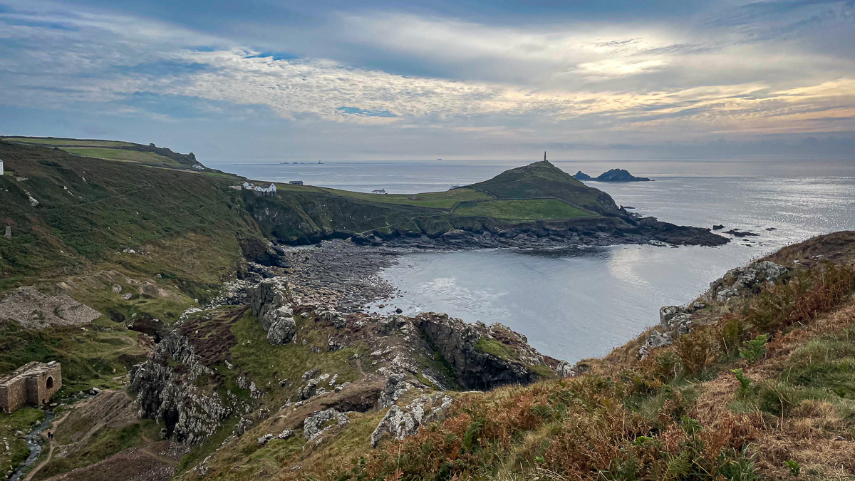
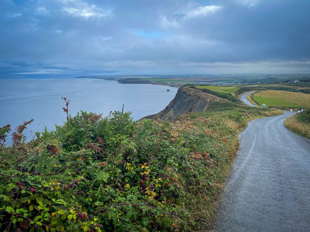
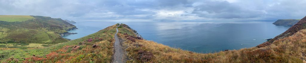
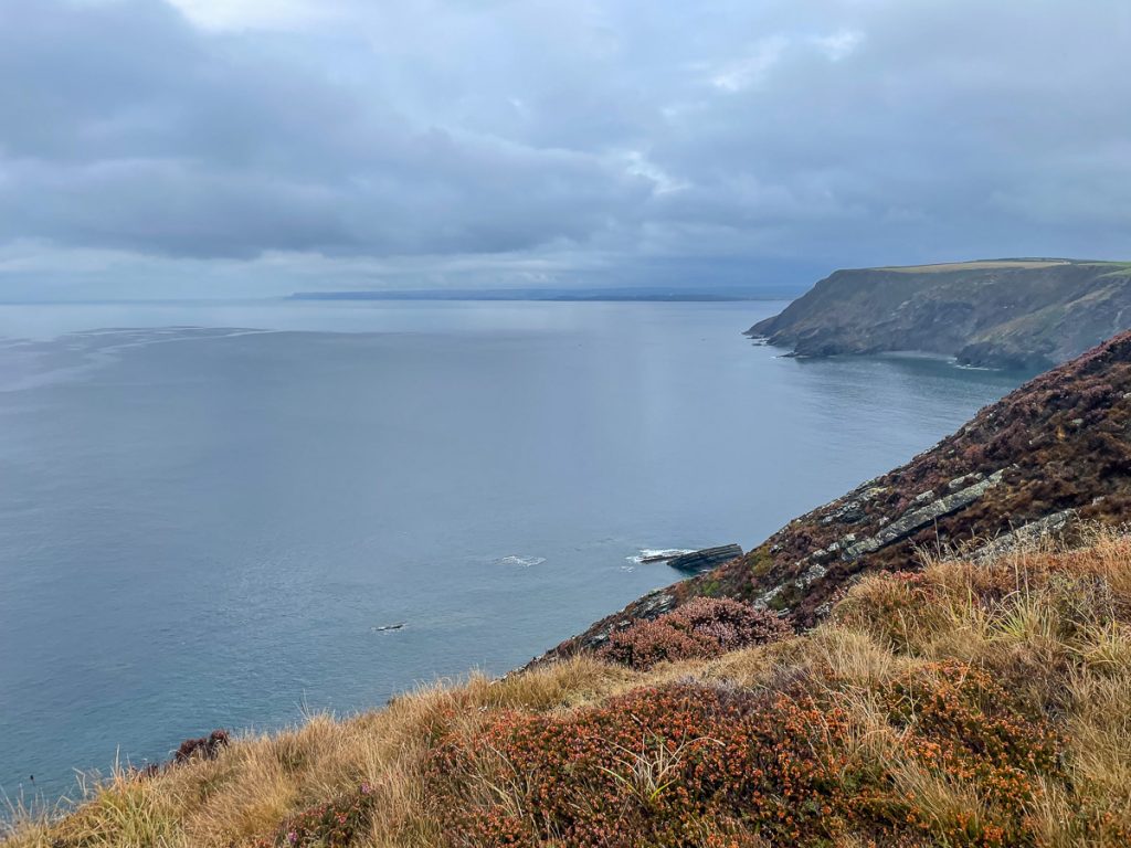
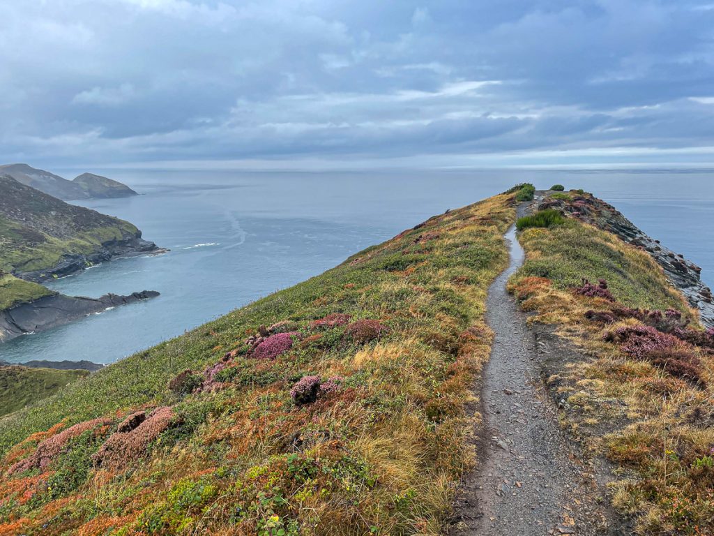
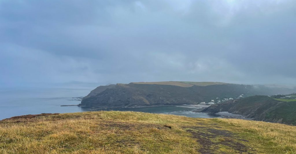
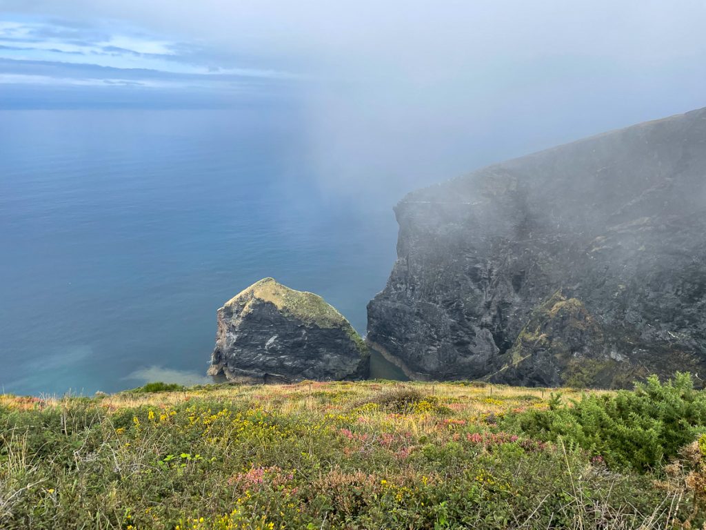
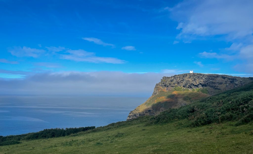
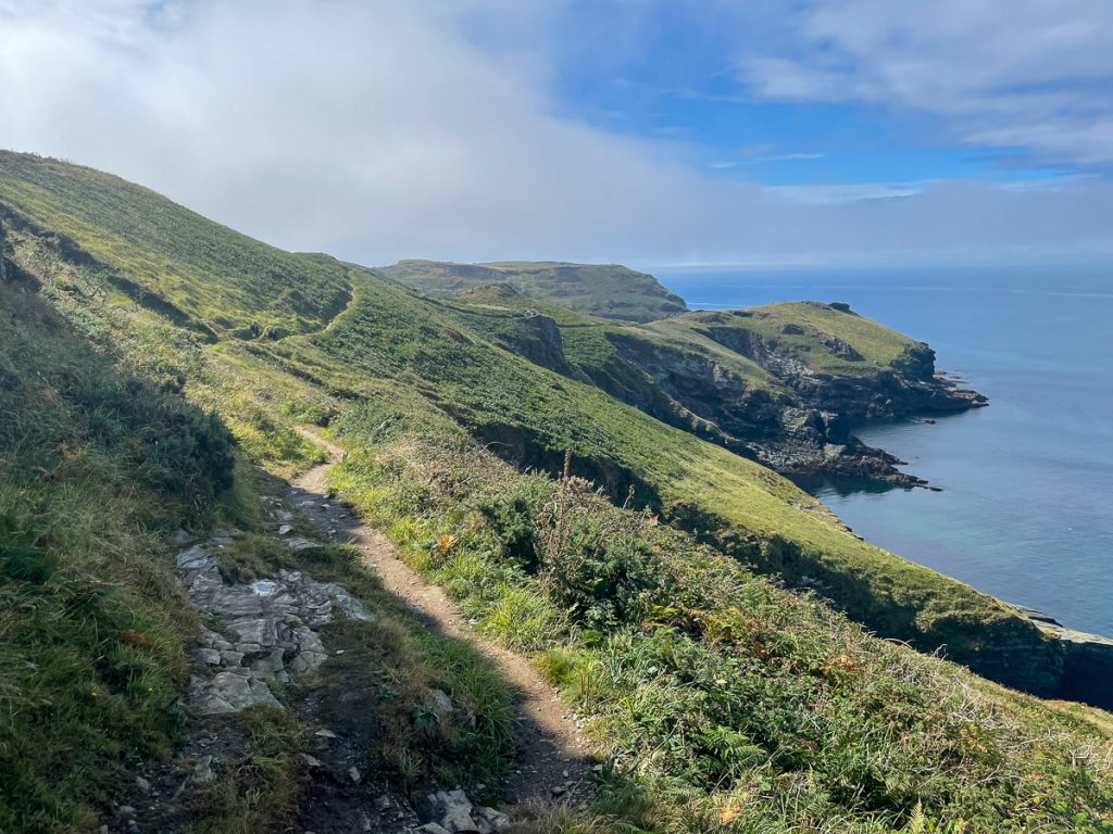
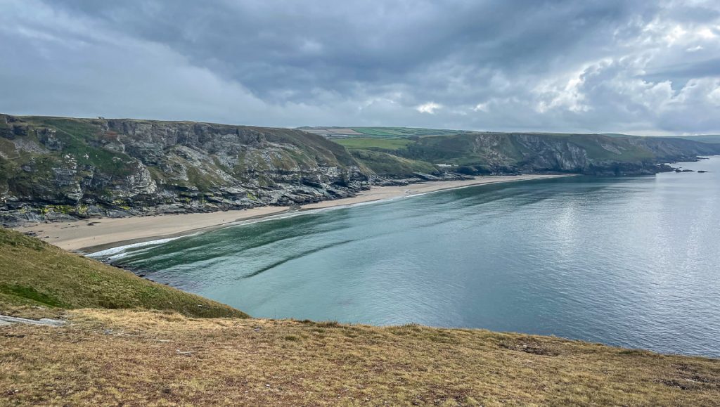
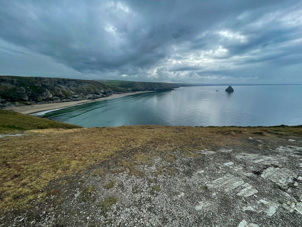
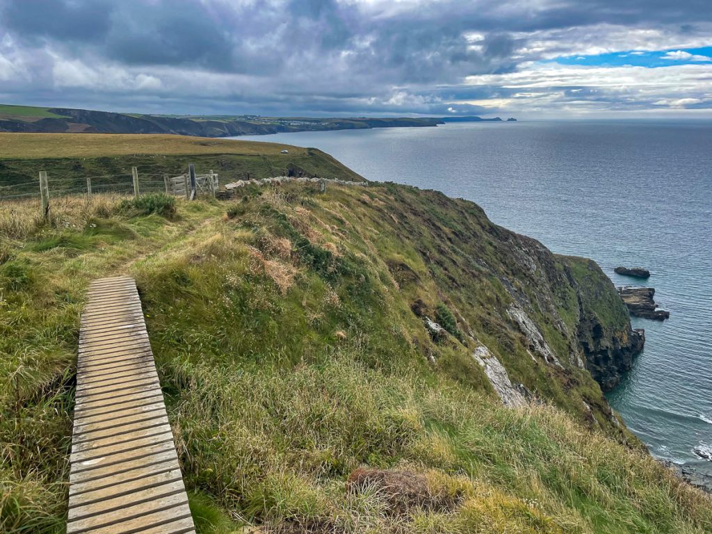
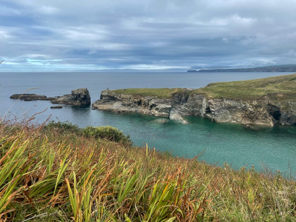
Not too far south of Crackington Haven, the path climbs up to the top of High Cliff – the aptly names highest cliff in Cornwall.
📅 Thu 9 Sep 11:16👁️ N🌍 Click for Map
📅 Thu 9 Sep 11:46👁️ NW🌍 Click for Map
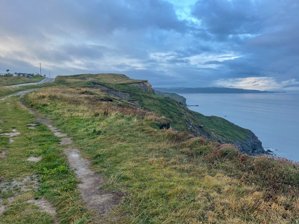
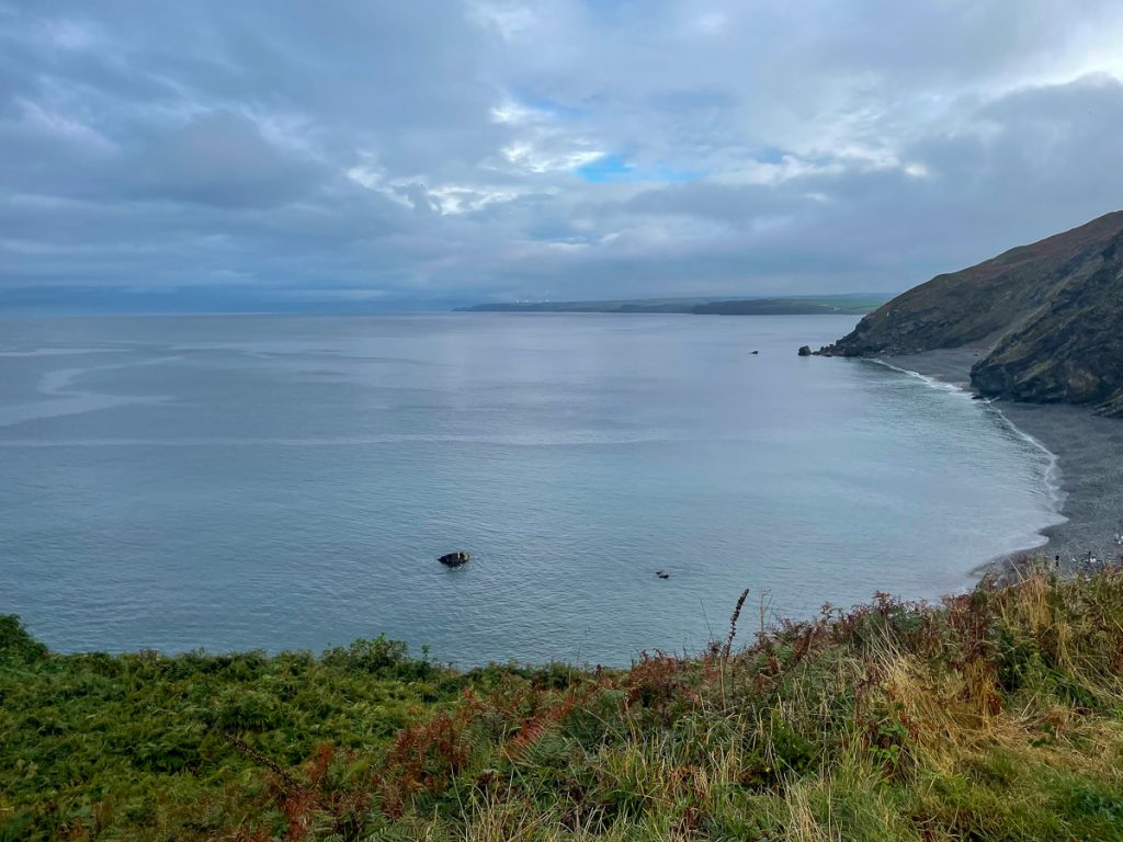
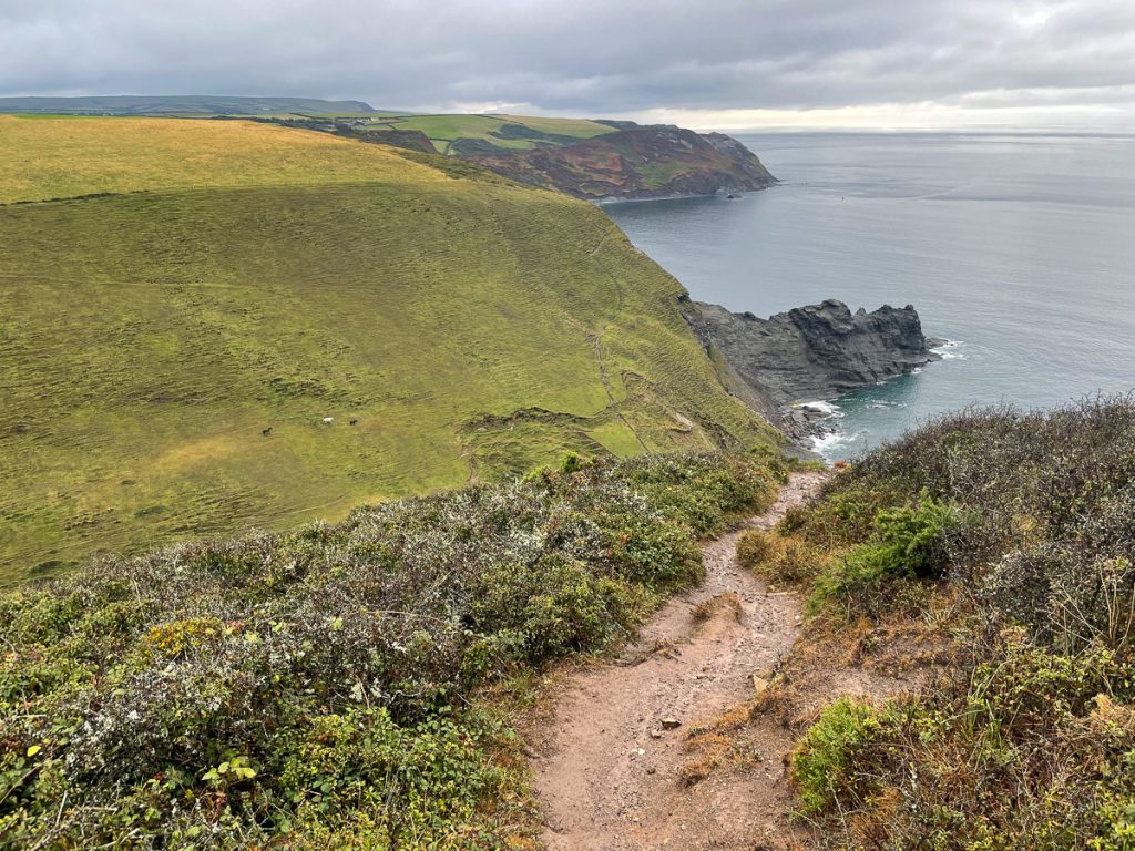
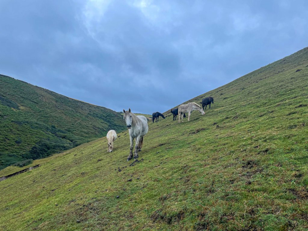
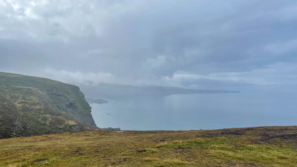
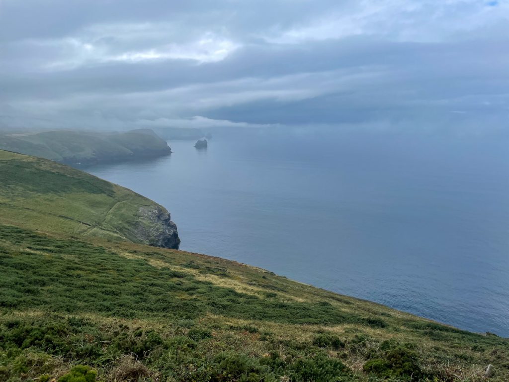
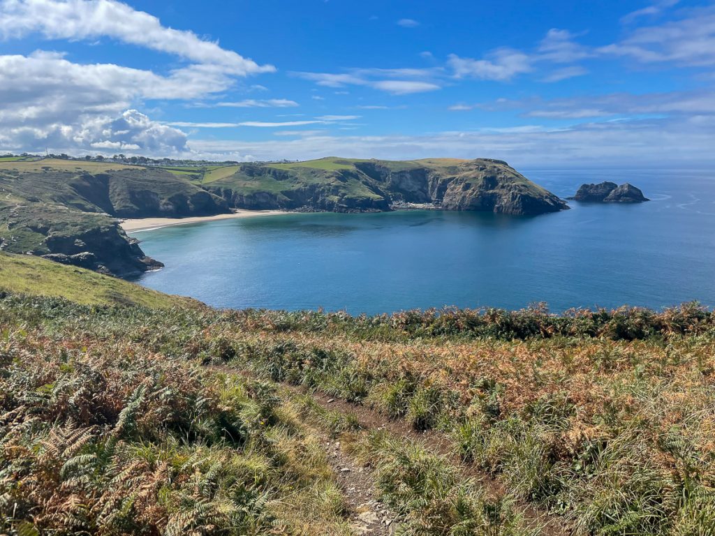
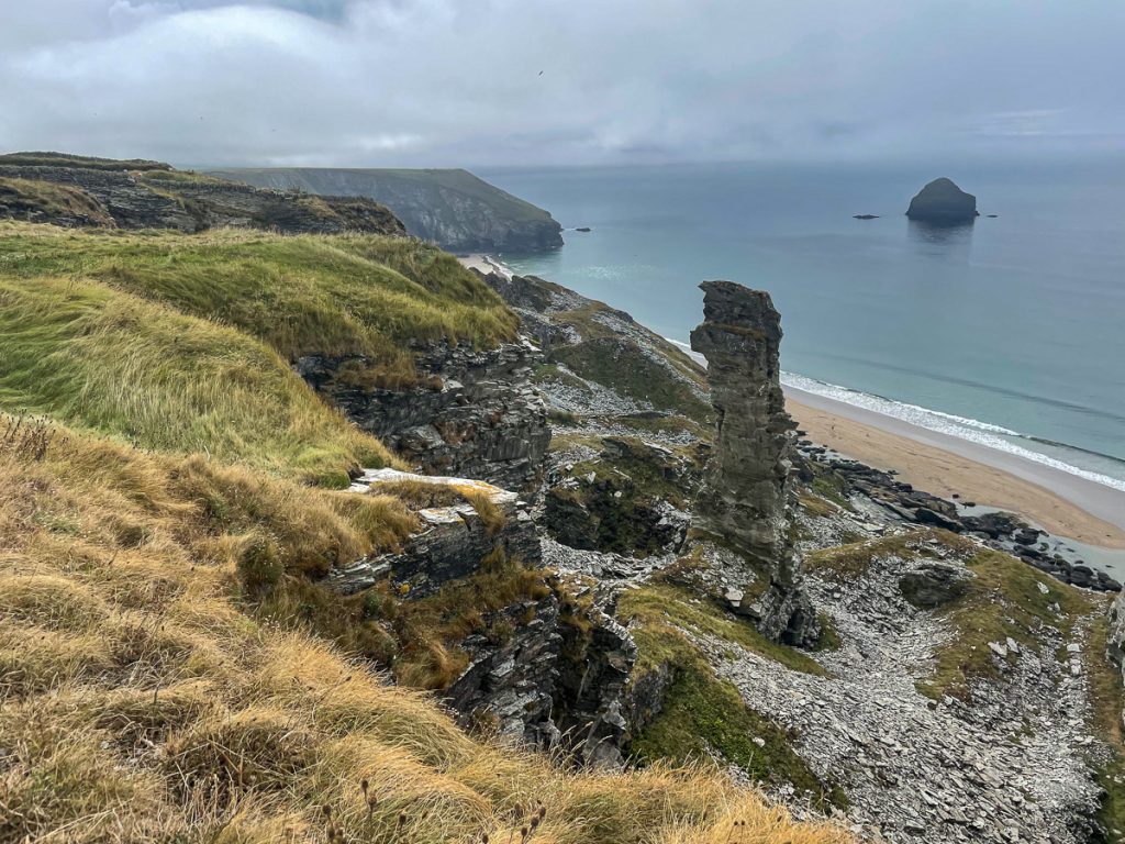
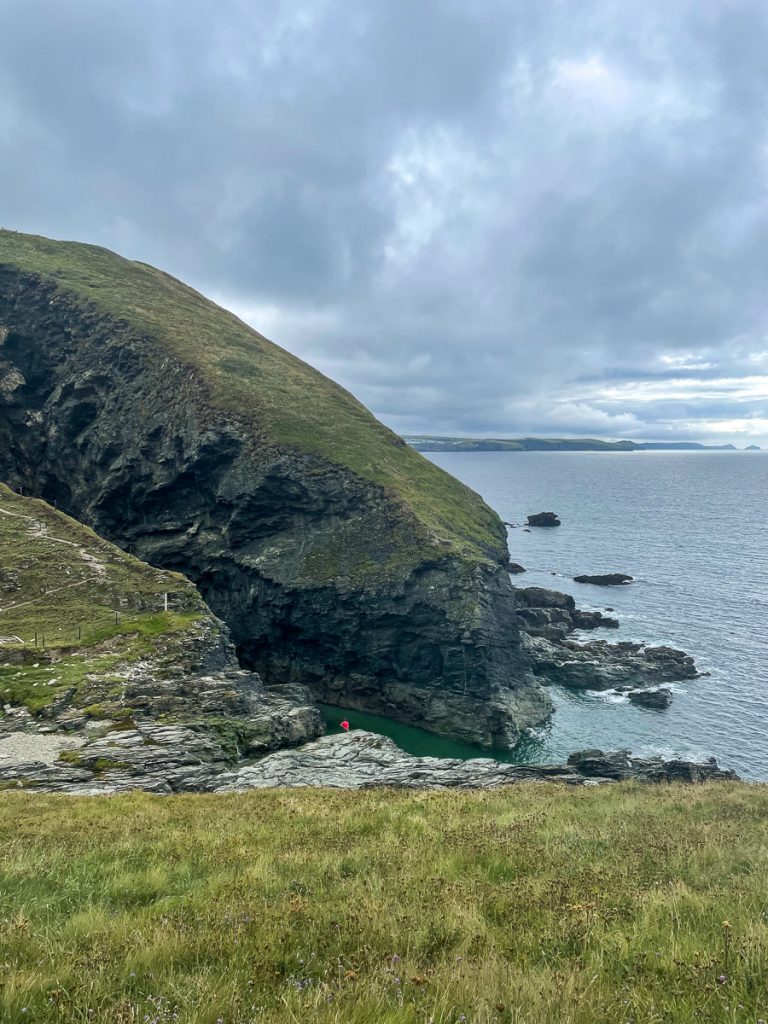
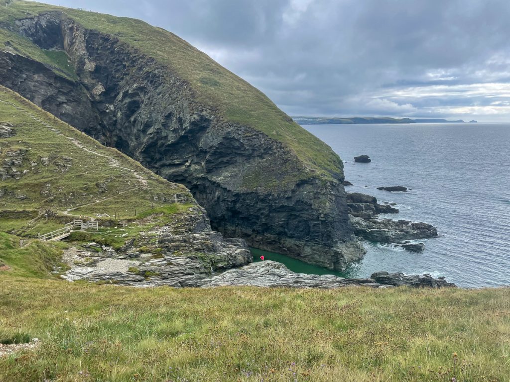
The path continued on under grey skies. Lots of moorland and heather, lots of ups and downs and just standard beautiful Cornish scenery!
📅 Thu 9 Sep 11:58👁️ SW🌍 Click for Map
📅 Thu 9 Sep 12:07👁️ S🌍 Click for Map
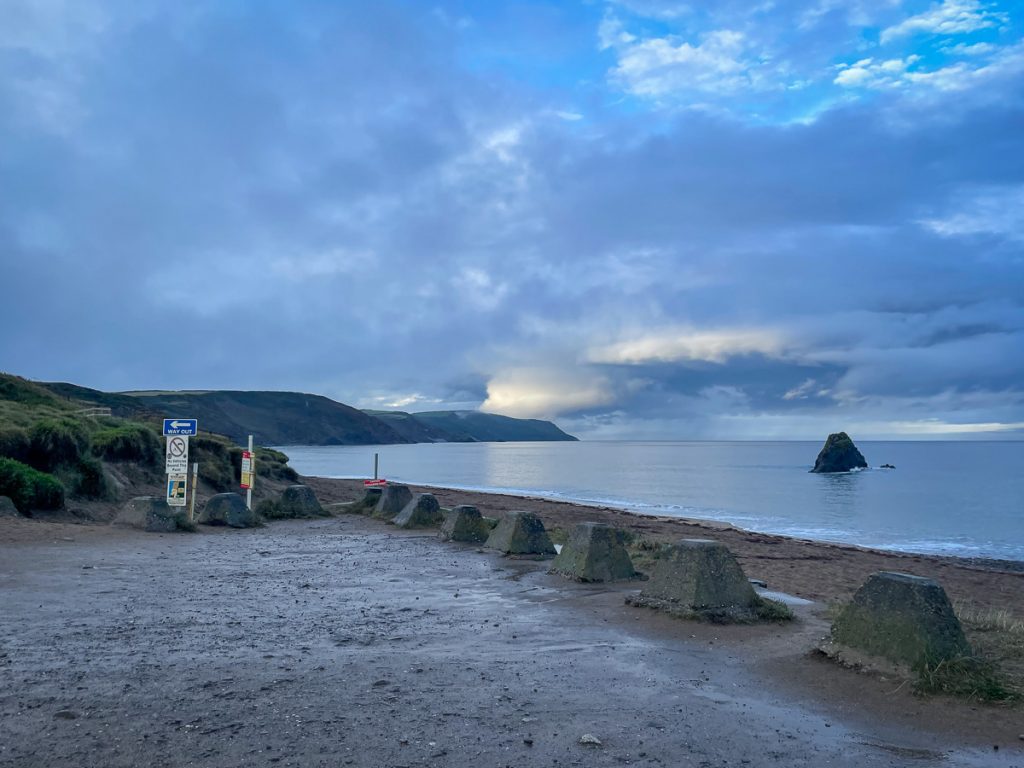
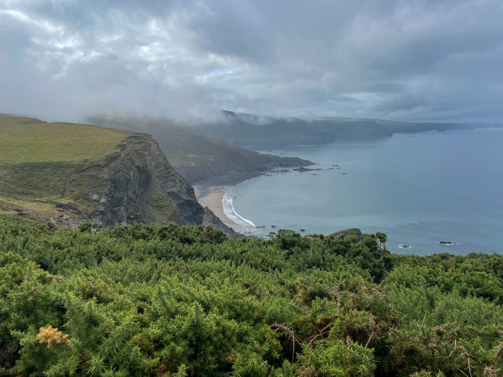
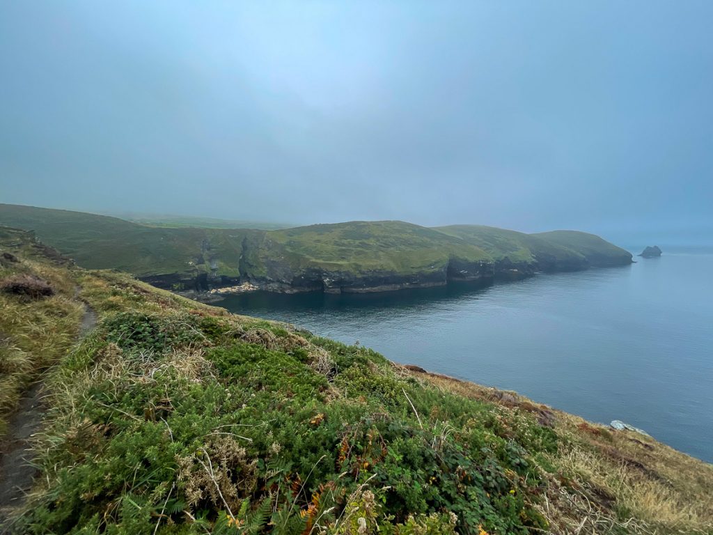
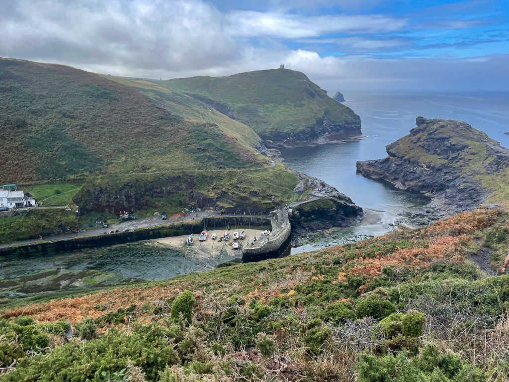
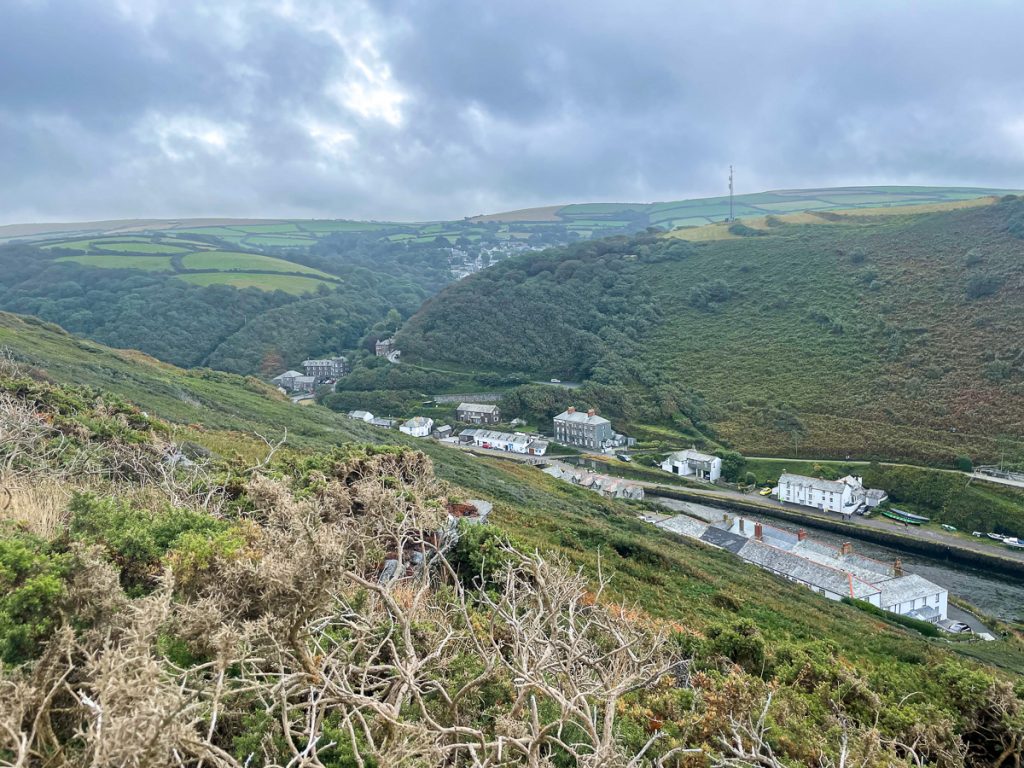
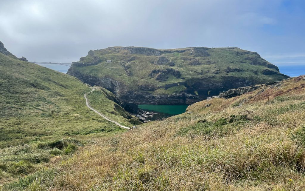
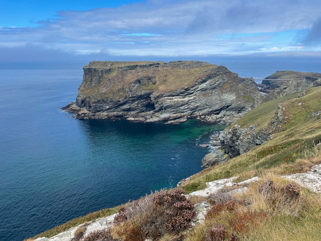
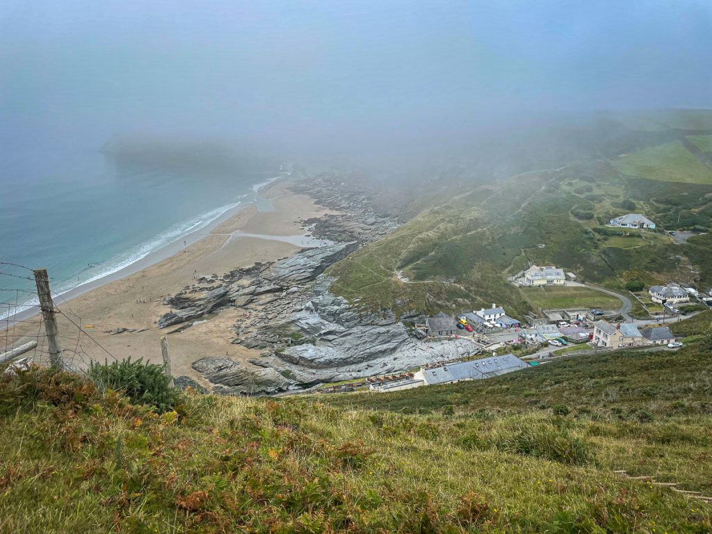
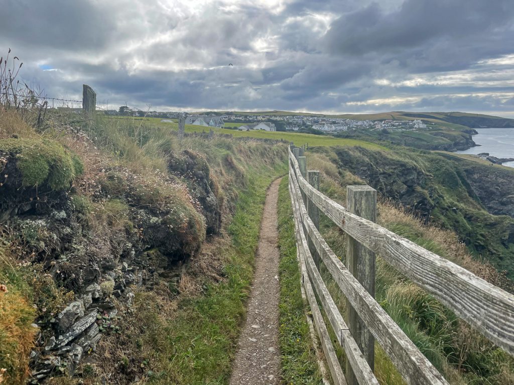
Rounding a few corners I found Boscastle Harbour, famous for the flood in 2004 that swept down the valley, destroying homes and cars.
📅 Thu 9 Sep 12:42👁️ SW🌍 Click for Map
📅 Thu 9 Sep 12:43👁️ S🌍 Click for Map
📅 Thu 9 Sep 13:00
📅 Thu 9 Sep 13:31👁️ SW🌍 Click for Map
📅 Thu 9 Sep 13:43👁️ W🌍 Click for Map
📅 Thu 9 Sep 14:05👁️ W🌍 Click for Map
📅 Thu 9 Sep 14:10👁️ SW🌍 Click for Map
📅 Thu 9 Sep 14:27👁️ N🌍 Click for Map
📅 Thu 9 Sep 14:38👁️ S🌍 Click for Map
📅 Thu 9 Sep 14:49👁️ SW🌍 Click for Map
📅 Thu 9 Sep 15:10👁️ N🌍 Click for Map
📅 Thu 9 Sep 16:09👁️ SW🌍 Click for Map
📅 Thu 9 Sep 16:09👁️ SW🌍 Click for Map
📅 Thu 9 Sep 17:13👁️ SW🌍 Click for Map
📅 Thu 9 Sep 17:22👁️ N🌍 Click for Map
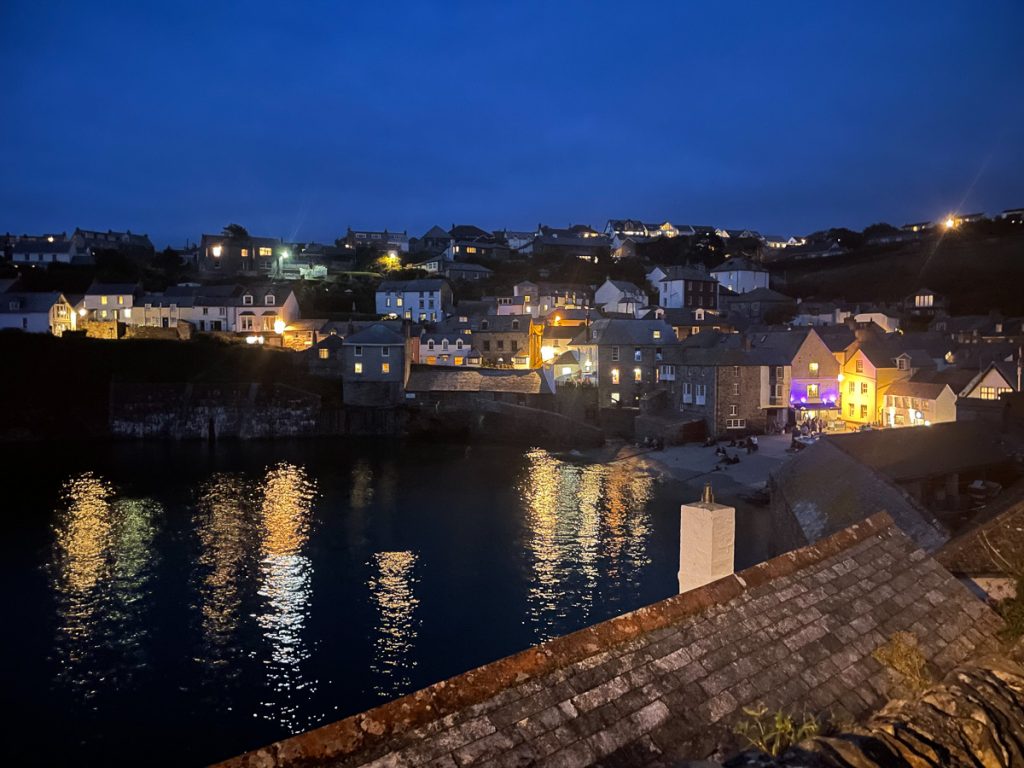
📅 Thu 9 Sep 20:26👁️ E🌍 Click for Map