Day 3 – Tuesday 7th September 2021
| Start Time | 6:42am |
| Total Distance | 38.05 miles |
| Elevation | 3638 feet |
| Total Time | 12 hours 5 minutes |
| Moving Time | 9:35 (15:40 min/mil) |
| Steps | 73321 |
📅 Tue 7 Sep 06:00👁️ NE🌍 Click for Map
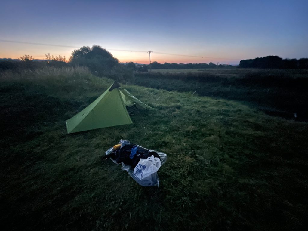
In the end, I managed to find a spot to camp the previous night at Velator Quay, on the outskirts of Braunton.
📅 Tue 7 Sep 06:00👁️ E🌍 Click for Map
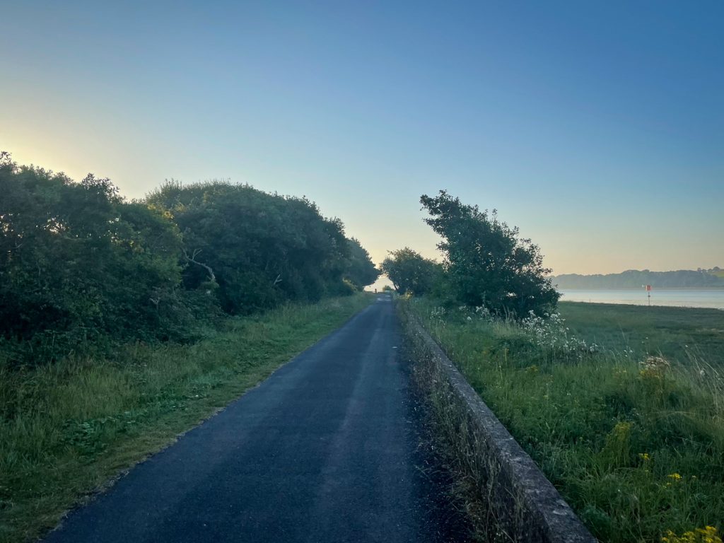
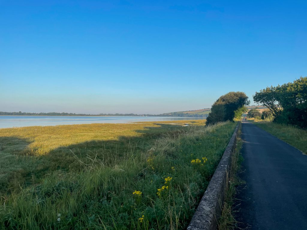
Today was going to be long (35 miles planned), and flat for about the first 70%. Off I headed down the tarmac cycle path of the Tarka trail (also the South West Coast Path) from Braunton towards Barnstaple.
📅 Tue 7 Sep 07:34👁️ SE🌍 Click for Map
📅 Tue 7 Sep 07:34👁️ W🌍 Click for Map
📅 Tue 7 Sep 07:51
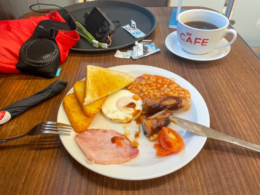
I detoured off the path at Barnstaple, heading initially for Costa, but ending up going via Asda, then a closed Costa to Tesco where they did a perfectly decent cooked breakfast and bucket of black coffee. I took the opportunity to charge some gadgets too.
📅 Tue 7 Sep 08:29🌍 Click for Map
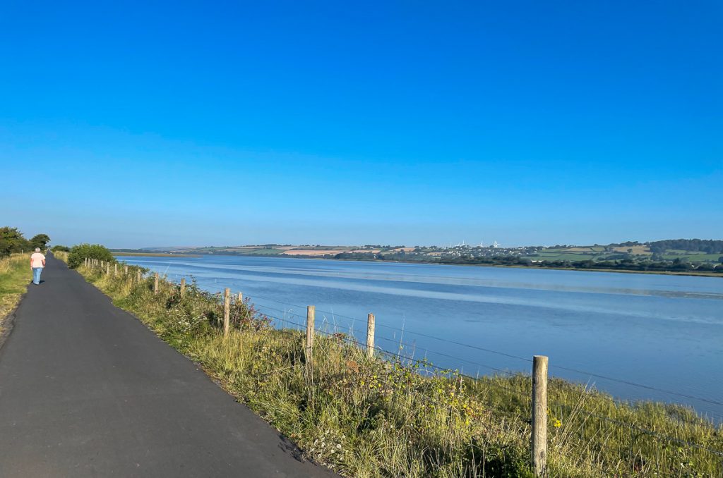
There wasn’t much in the way of cloud today, and the sun was beating down as I was on the very open path. It wasn’t a huge issue in the morning – in fact, it was quite nice to have such lovely weather in September.
📅 Tue 7 Sep 08:56👁️ NW🌍 Click for Map
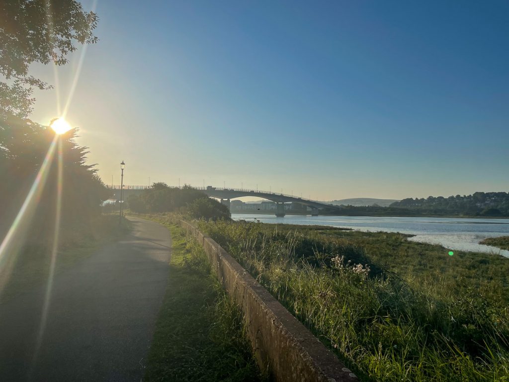
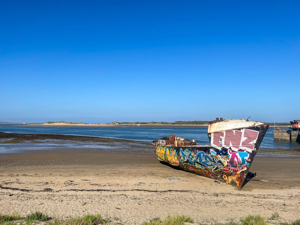
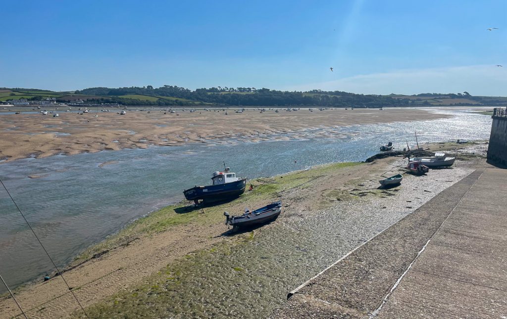
The South West Coast Path detoured from the tarmac of the Tarka Trail for a short period just before Instow, taking me by the side of the water where the sights were more interesting. Across the water in the image below is the area I spent last night hunting around for somewhere to sleep – that I’d left almost 4 hours ago! There was a lot of walking with not much as-the-crow-flies distance covered today.
📅 Tue 7 Sep 10:19👁️ W🌍 Click for Map
📅 Tue 7 Sep 10:44👁️ W🌍 Click for Map
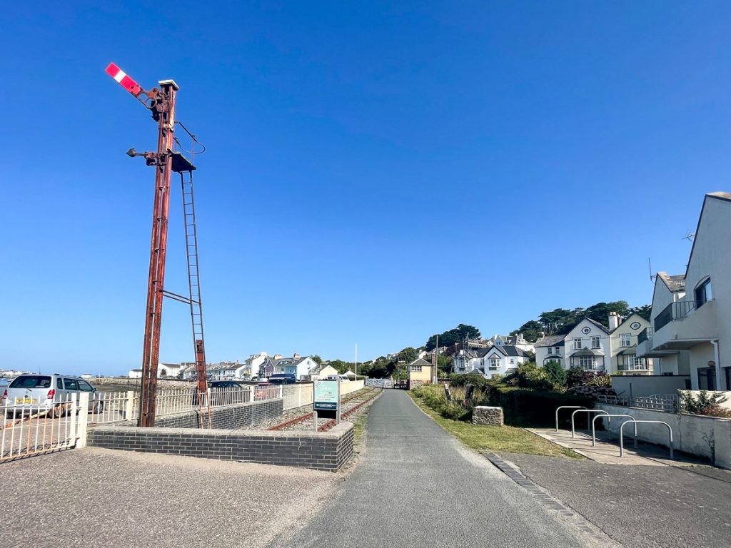
For some of its way, the Tarka Trail follows the path of a disused railway line so there’s plenty of railway heritage still visible on the route.
📅 Tue 7 Sep 10:46👁️ N🌍 Click for Map
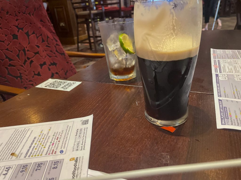
Back in Wetherspoons – this time in Bideford – for lunch and a crafty pint of Guinness!
📅 Tue 7 Sep 11:46🌍 Click for Map
📅 Tue 7 Sep 13:07👁️ SE🌍 Click for Map
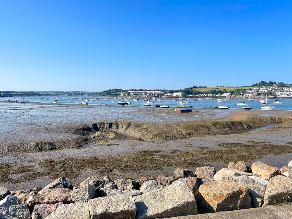
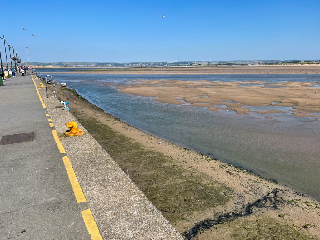
Two and a half hours after the photo above (of Appledore from Instow), I was in Appledore taking a similar photo back towards Instow. As I said before, there’s not a lot of progress for all the walking you do round here.
📅 Tue 7 Sep 13:07👁️ NE🌍 Click for Map
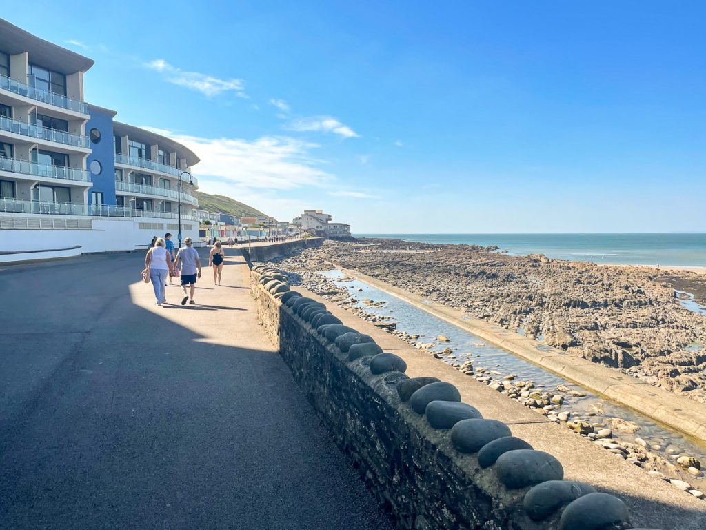
Land of the exclamation mark – Westward Ho! I wasn’t a fan at this point – I was hot and bothered and felt like there were too many people, cars and caravans around for my liking.
📅 Tue 7 Sep 14:31👁️ W🌍 Click for Map
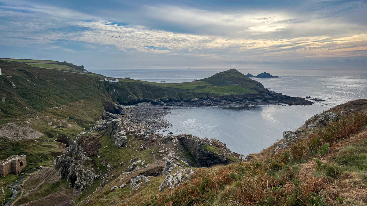
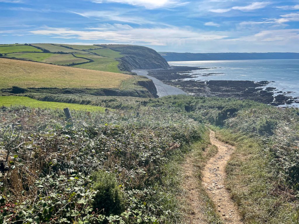
Westward Ho! marked the end of the more urban section of the path and after here I was back on proper coastal path and making progress towards Clovelly.
📅 Tue 7 Sep 14:53👁️ N🌍 Click for Map
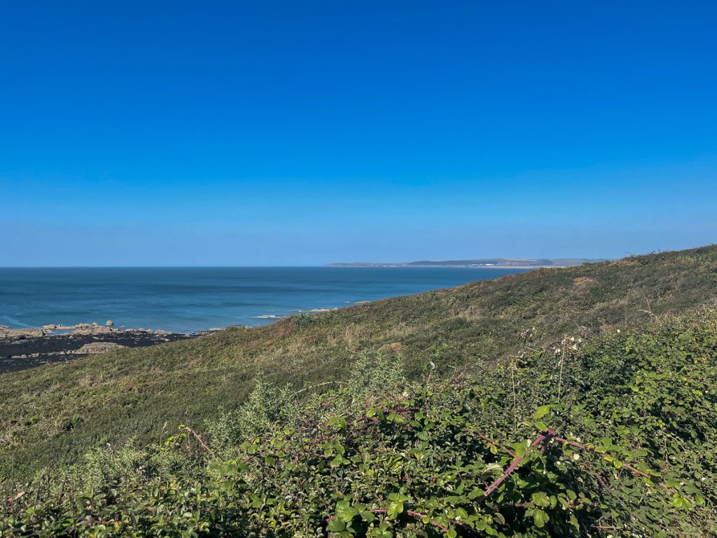
Baggy Point – in the far distance of the photo above – was where I was yesterday having left Woolacombe and heading towards Croyde. That seemed like a long time ago…
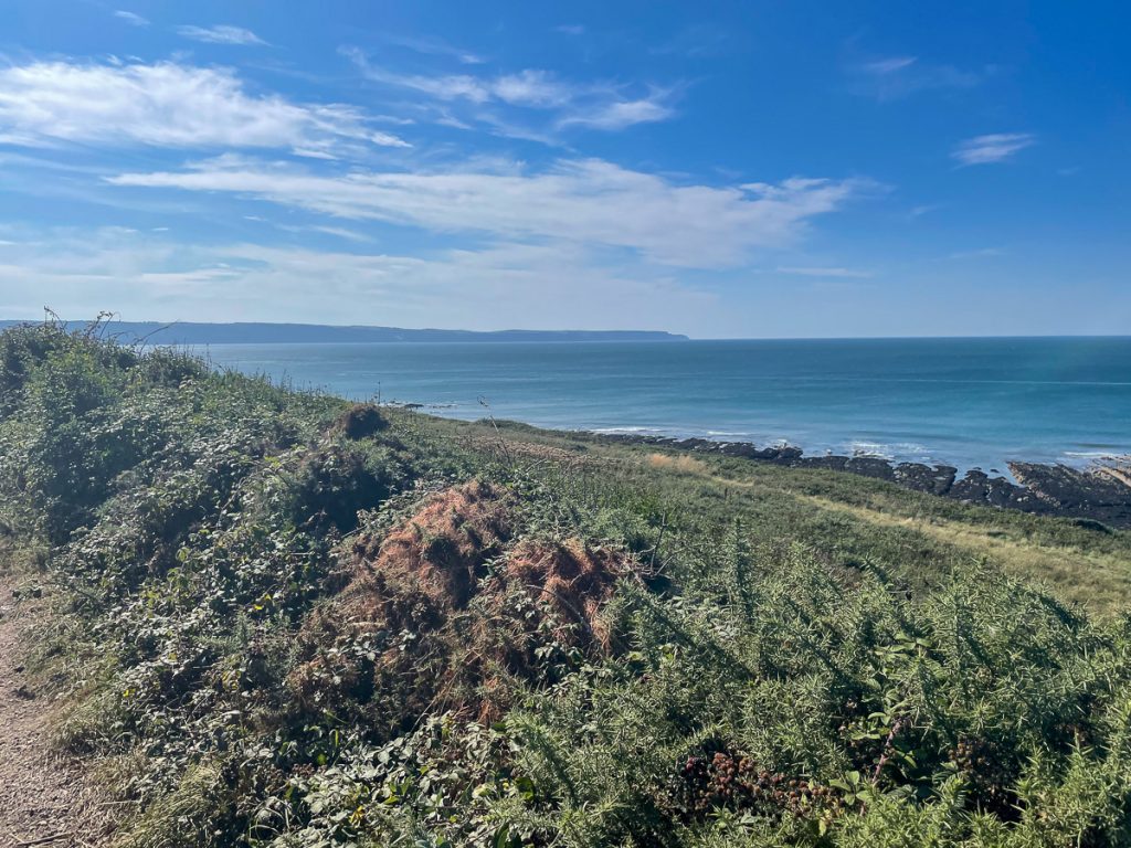
📅 Tue 7 Sep 14:53👁️ W🌍 Click for Map
Despite having been mostly flat, the first 25 miles of the day had taken it’s toll and made these last 11 pretty tough going. There were plenty of descents into valleys and climbs out the other side, and the sun was now unrelenting, with almost no shade available. To make matters worse, I was getting close to running out of water.
📅 Tue 7 Sep 15:09
Again, I don’t have photos, but after quite an eventful time involving drinking rank spring water containing at least 1 dead fly, meeting people on the route and finding Chris was not far ahead, and then turning the last half an hour into a Top Gear style race, I finally arrived at Clovelly to meet back up with Chris and have some food!
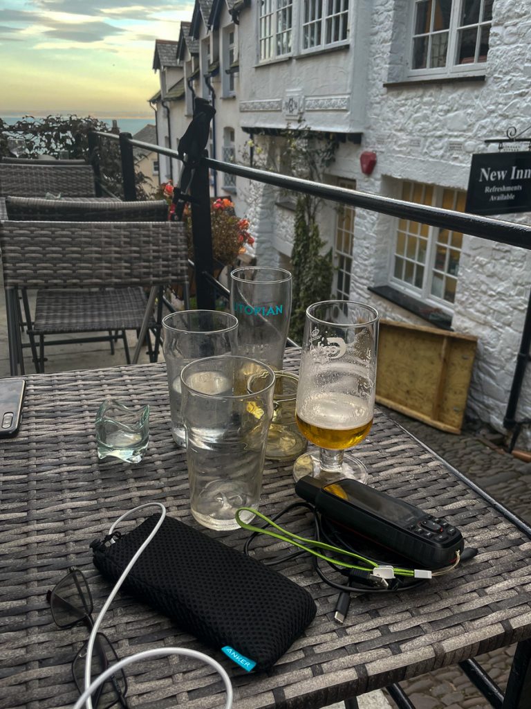
📅 Tue 7 Sep 19:09🌍 Click for Map