Day 2 – Monday 6th September 2021
| Start Time | 6:54am |
| Total Distance | 36.66 miles |
| Elevation | 5331 feet |
| Total Time | 13 hours 45 minutes |
| Moving Time | 9 hours 50 minutes (16:57 min/mi) |
| Steps | 74382 |
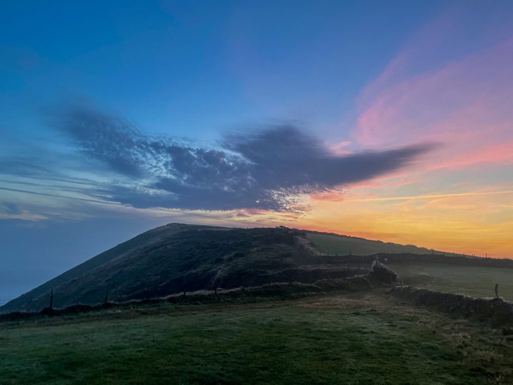
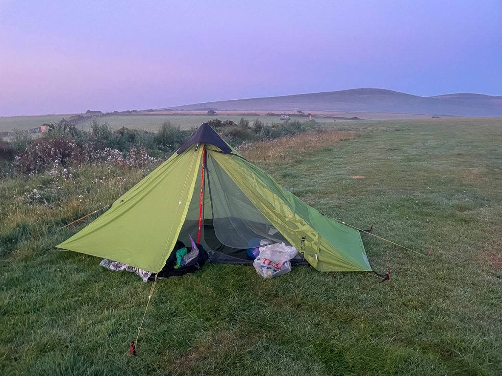
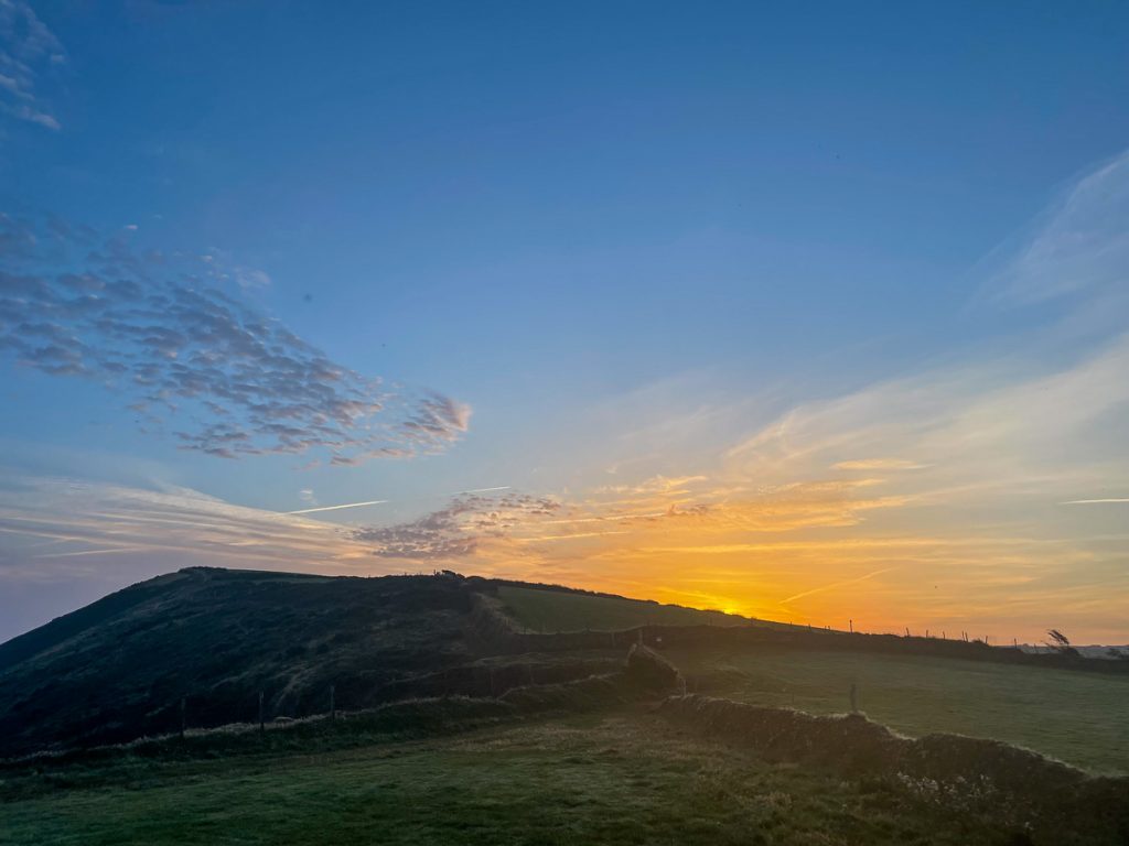
We woke to a dew-covered field, dripping tents, and an amazing sky.
📅 Mon 6 Sep 06:20👁️ NE🌍 Click for Map
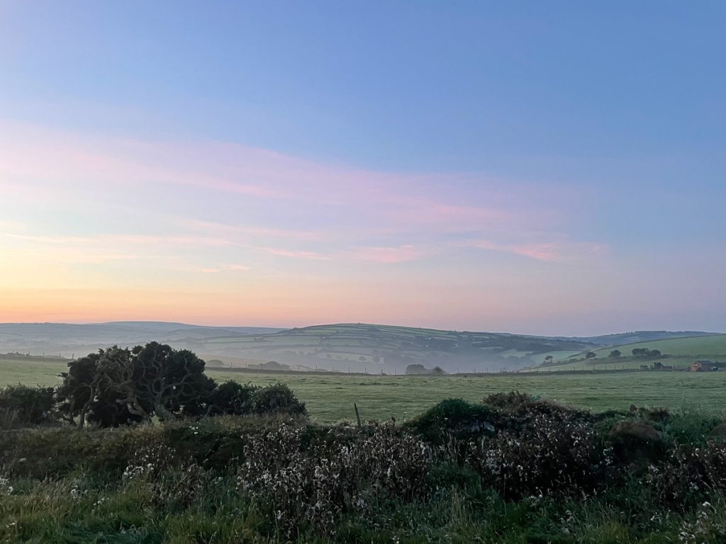
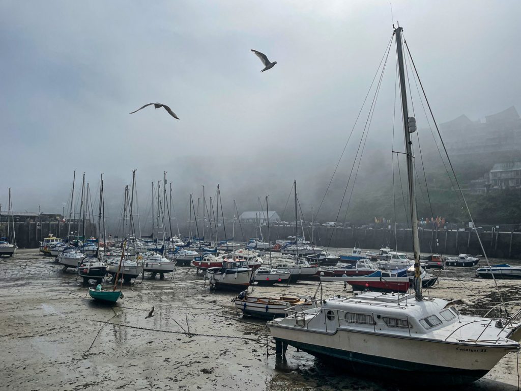
Mist hung in the air as we packed away sleeping mats, bags and tents.
📅 Mon 6 Sep 06:21👁️ SW🌍 Click for Map
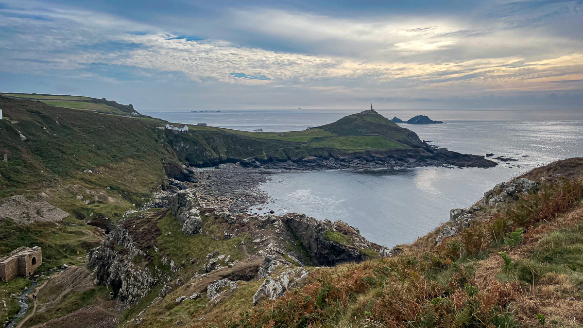
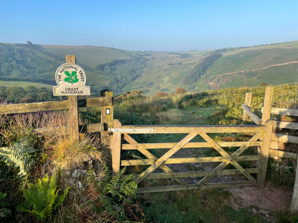
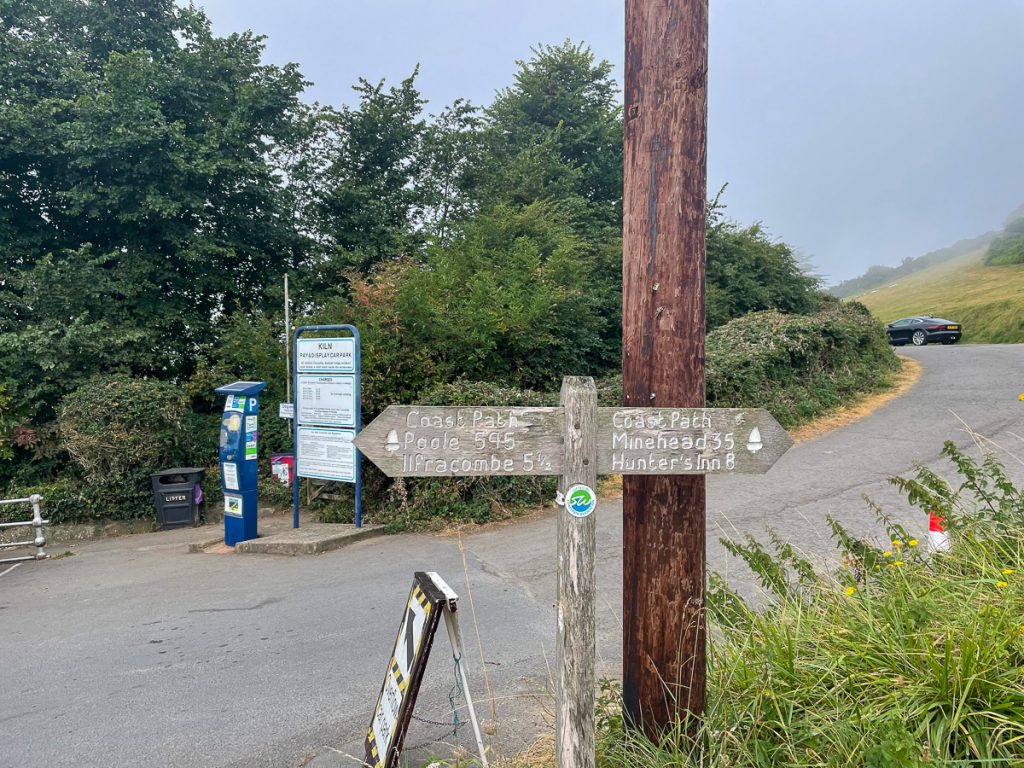
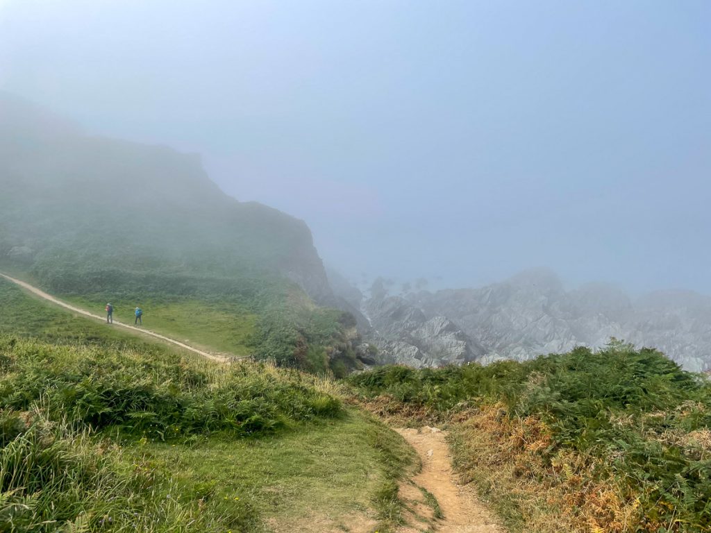
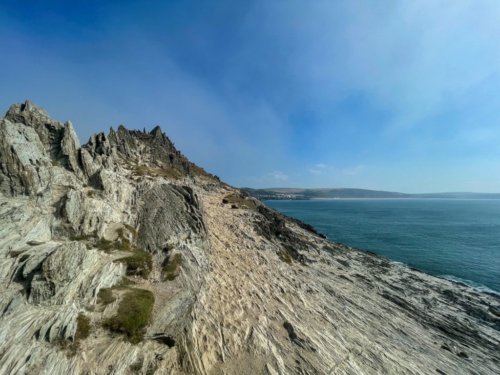
The path ahead took us up over Great Hangman – the highest point on the South West Coast Path at just over 1,000ft tall.
📅 Mon 6 Sep 06:22👁️ SE🌍 Click for Map
As we left, the sun was just starting to peek over the hill behind us.
📅 Mon 6 Sep 06:50👁️ NE🌍 Click for Map
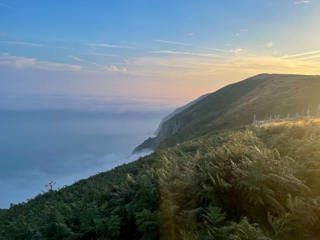
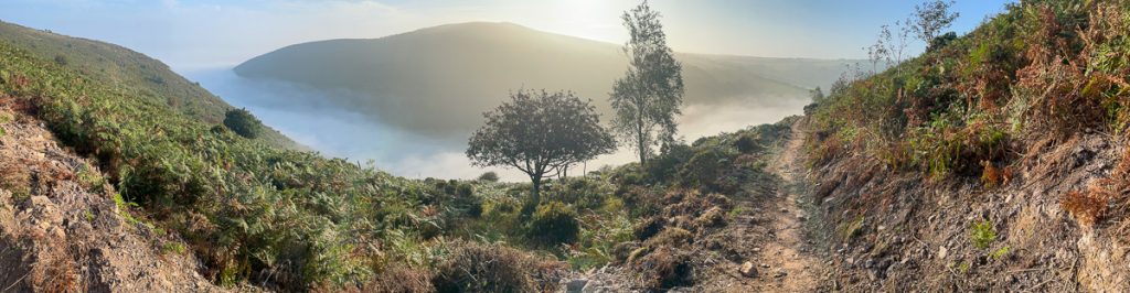
To our right, the sea was covered in mist, to the point where it felt like we were on the top of a mountain with clouds below.

📅 Mon 6 Sep 07:09👁️ W🌍 Click for Map
After an hour or so, we passed a gate with a sign for Great Hangman.
📅 Mon 6 Sep 07:58👁️ SW🌍 Click for Map
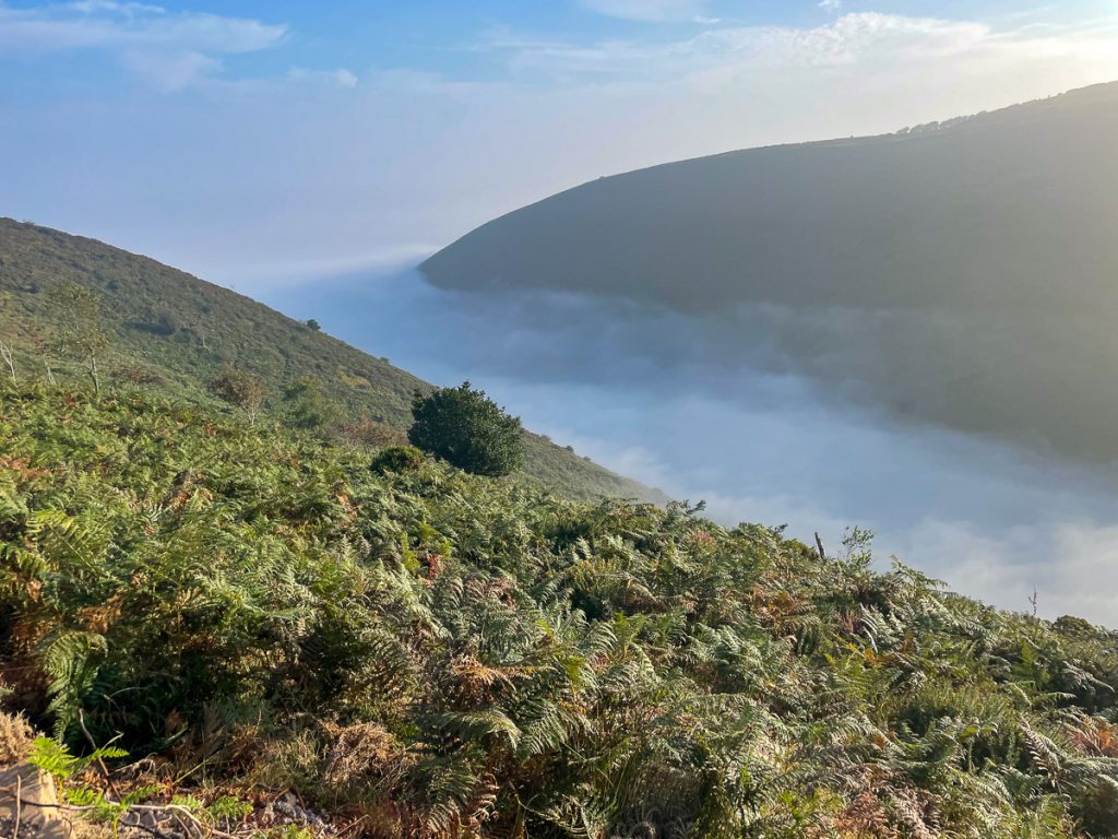
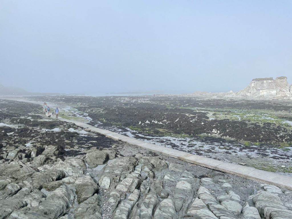
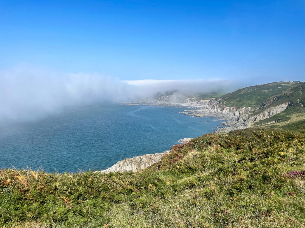
The mist over the sea snaked it’s way inland along the valleys, and in the sunlight was just an amazing sight.
📅 Mon 6 Sep 08:18👁️ NE🌍 Click for Map
📅 Mon 6 Sep 08:18👁️ E🌍 Click for Map
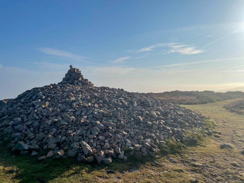
At the top of Great Hangman – the highest point on the whole South West Coast Path – is a large cairn.
📅 Mon 6 Sep 08:32👁️ NE🌍 Click for Map
📅 Mon 6 Sep 09:13👁️ NW🌍 Click for Map
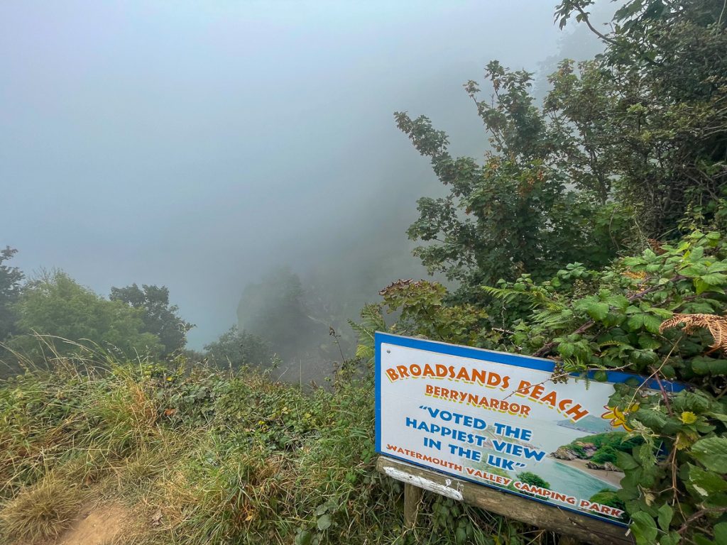
We were treated to the happiest view in the UK, which was quite grey.
📅 Mon 6 Sep 10:24👁️ E🌍 Click for Map
Entering Ilfracombe we were met with noise, traffic and lots of people. But it was a nice looking place, and we did take the opportunity to get something to eat. I had my first pasty of the trip.
📅 Mon 6 Sep 12:21👁️ S🌍 Click for Map
Just out of Ilfracombe, Chris and I parted company for a time as I was moving a little fast for him to be comfortable with. He was going to take a few shortcuts and we agreed to meet up at some point over the next days.
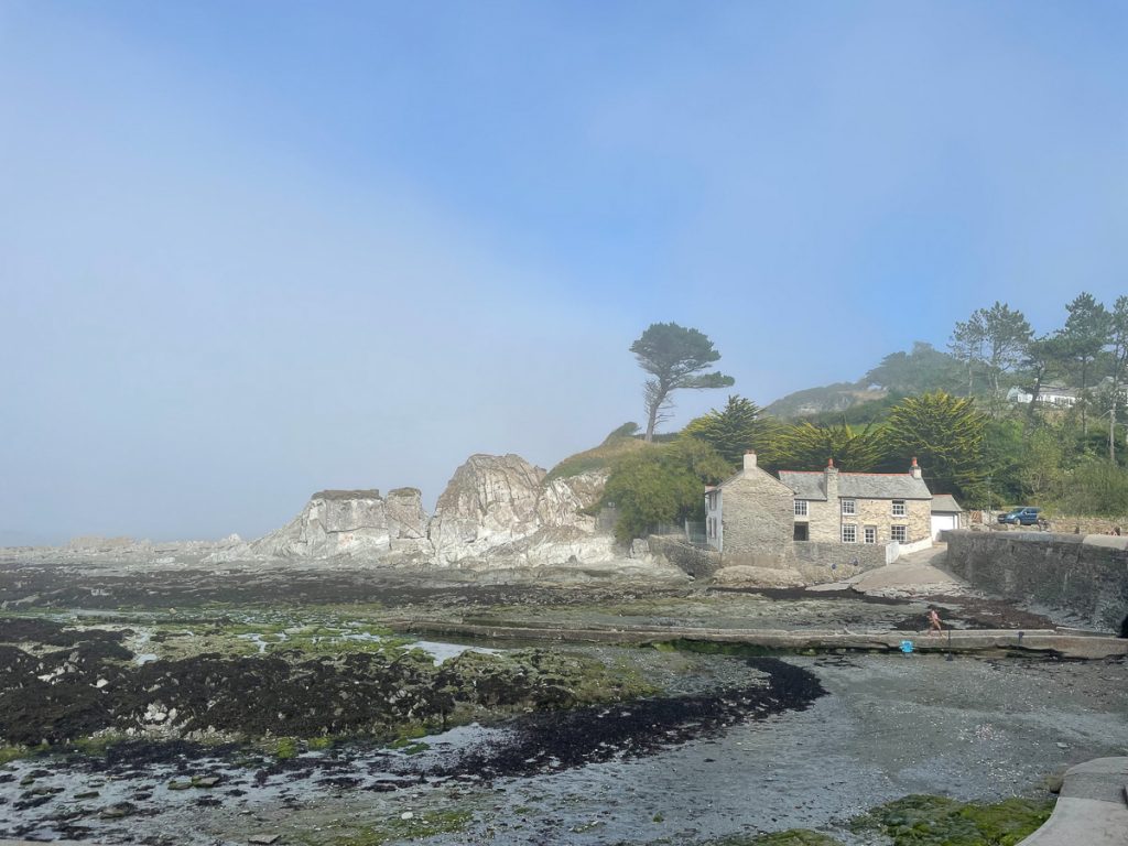
A little while outside of Ilfracombe, I hit Lee Bay which – in the fog – was just eerily beautiful.
📅 Mon 6 Sep 14:11👁️ N🌍 Click for Map
📅 Mon 6 Sep 14:11👁️ N🌍 Click for Map
📅 Mon 6 Sep 14:19👁️ NW🌍 Click for Map
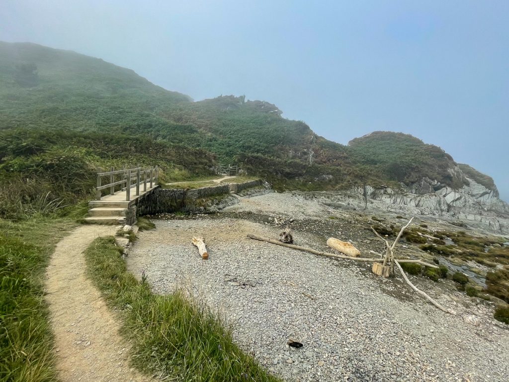
A little further on, I found this bridge over a dried stream. The fog was deadening the sound, so it felt like a little personal space, so peaceful and tranquil.
📅 Mon 6 Sep 14:29👁️ NW🌍 Click for Map
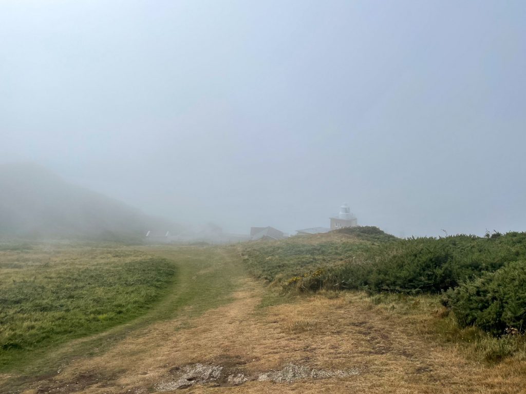
Bull point lighthouse poked out of the fog in the distance and not long after the last of the fog disappeared from my route.
📅 Mon 6 Sep 14:36👁️ W🌍 Click for Map
📅 Mon 6 Sep 15:09👁️ NE🌍 Click for Map
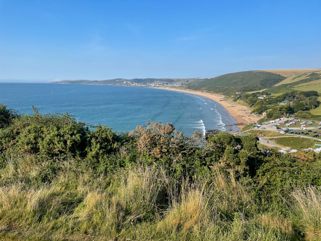
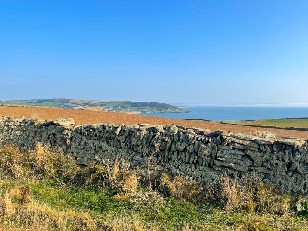
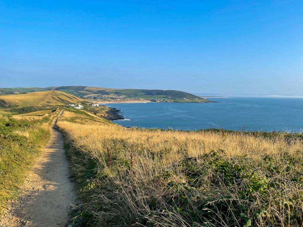
Arriving at Morte Point after a small inland navigation error, I got my first sight of Woolacombe.
📅 Mon 6 Sep 15:18👁️ SE🌍 Click for Map
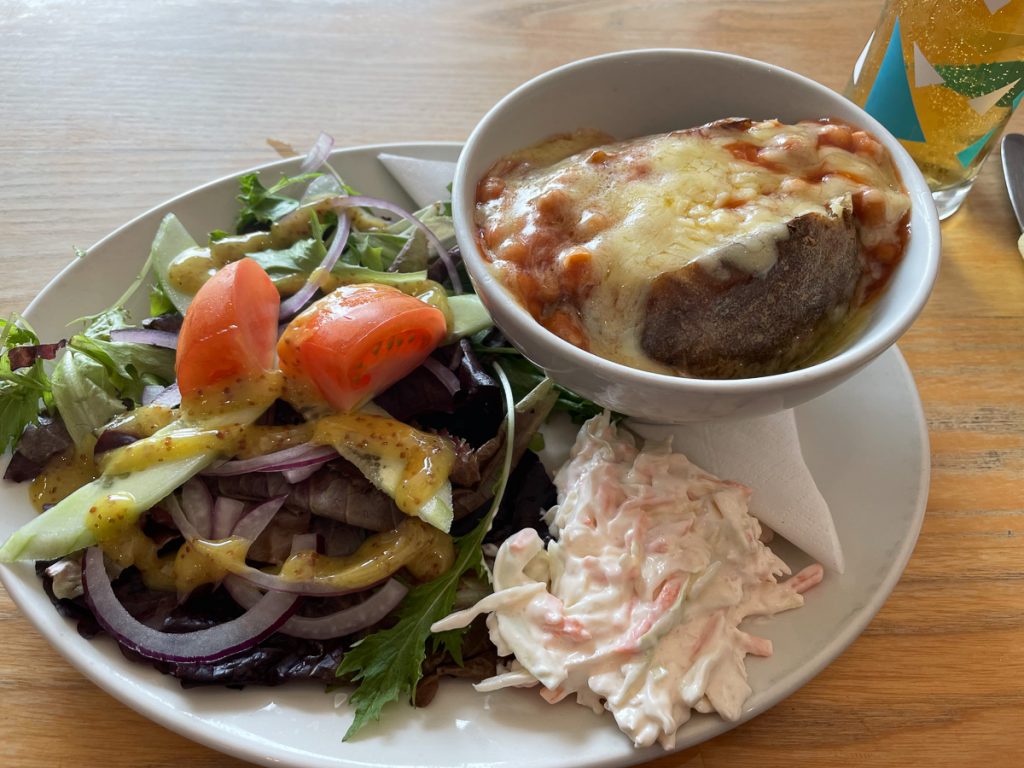
Lunch time (well, 4pm!), saw me grabbing a nice healthy jacket potato smothered in cheese and beans from the Captains Table restaurant. And I took the opportunity to sneak in a Korev too!
📅 Mon 6 Sep 16:10🌍 Click for Map
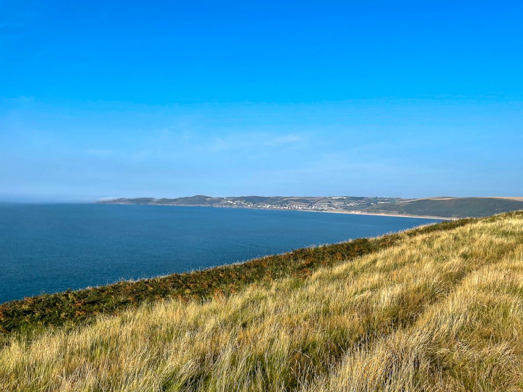
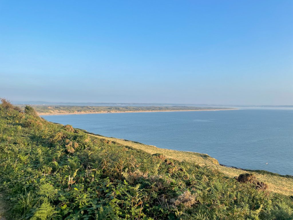
2.1 miles of Woolacombe beach behind me (although I walked up Marine Drive which was essentially just a very, very long, thin car park), and I was on the hill at Putsborough.
📅 Mon 6 Sep 17:14👁️ NE🌍 Click for Map
📅 Mon 6 Sep 17:36👁️ NE🌍 Click for Map
Round Baggy point and onwards to Croyde, the sun pretty full-on now although not ridiculously hot as it was getting later in the day.
📅 Mon 6 Sep 17:37👁️ NE🌍 Click for Map
📅 Mon 6 Sep 17:37👁️ SE🌍 Click for Map
At Croyde bay, there was an unexpected trawl across the sand which was a bit annoying, but proved my decision to wear gaiters was a good one – not a single grain of sand ended up in my shoes!
📅 Mon 6 Sep 18:40
This was the last photo I took of the day, but there’s a lot more to the story. Things went a little downhill at this point leading to a bit of a panic about 3 hours later…