Cape Cornwall to Penzance

Day 9 – Monday 13th September 2021
Start Time8:07am
Total Distance22.06 miles
Elevation4044 feet
Total Time7 hours 26 minutes
Moving Time5 hours 59 minutes (16:17/mile)
Steps45143

Looking down Cot Valley, having just left the youth hostel

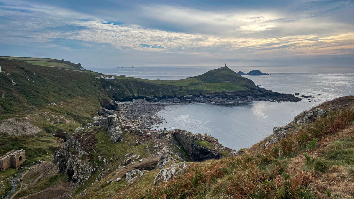
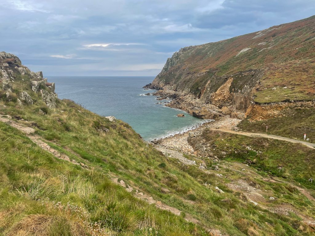
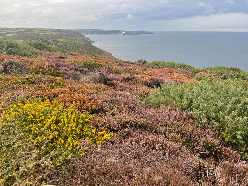
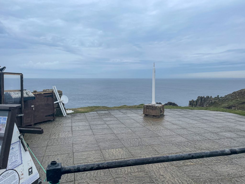
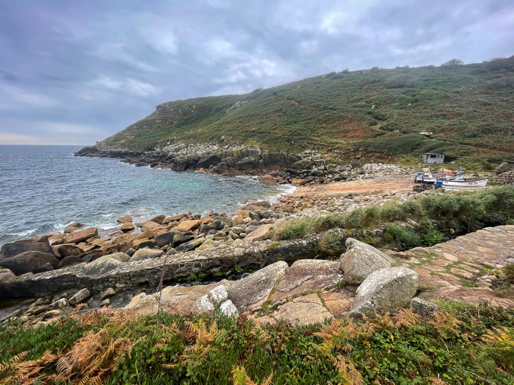
📅 Mon 13 Sep 08:13👁️ NW🌍 Click for Map
“Watch out for the big ‘oles!”

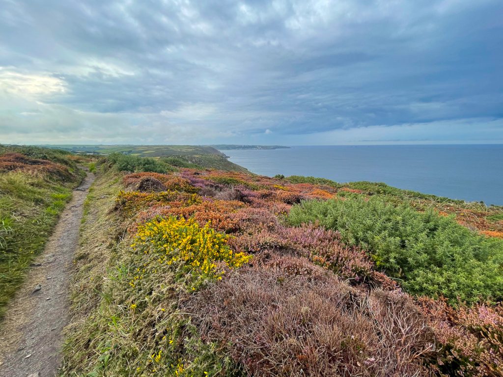
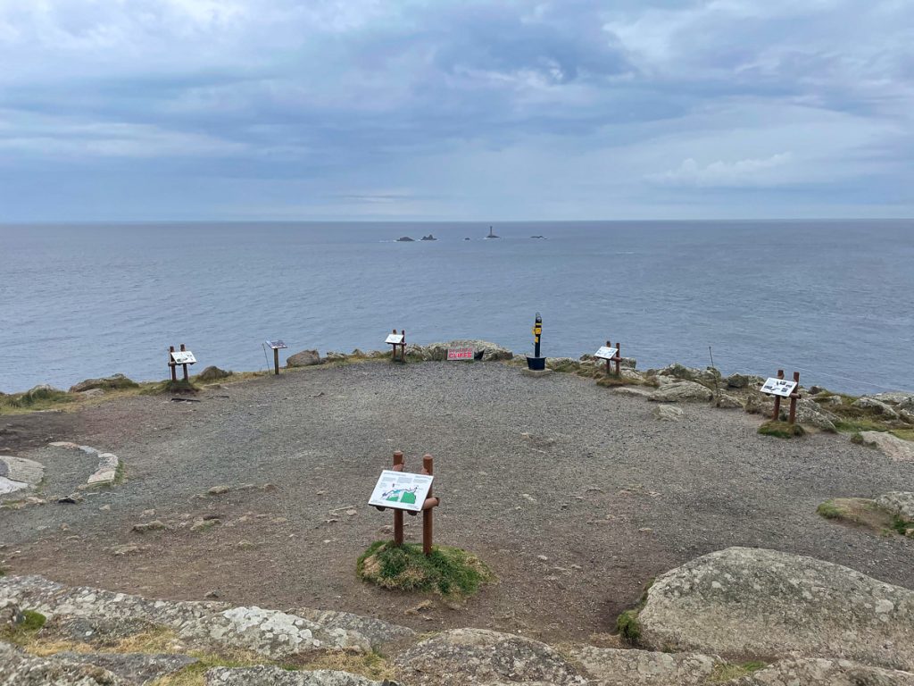
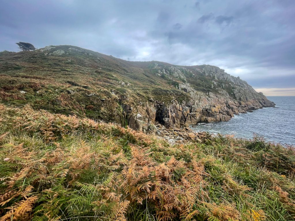
📅 Mon 13 Sep 08:14👁️ NW🌍 Click for Map
Porth Nanven, the site of a dramatic mine resuce in 2017

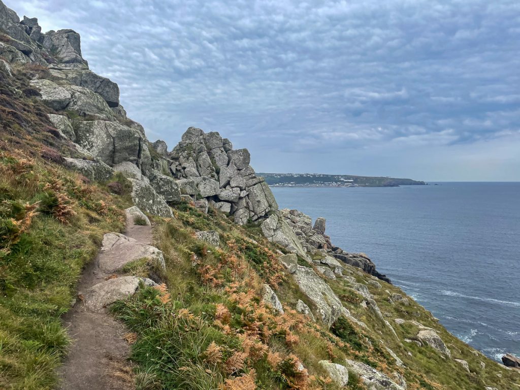
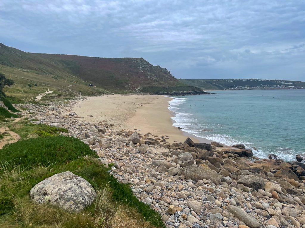
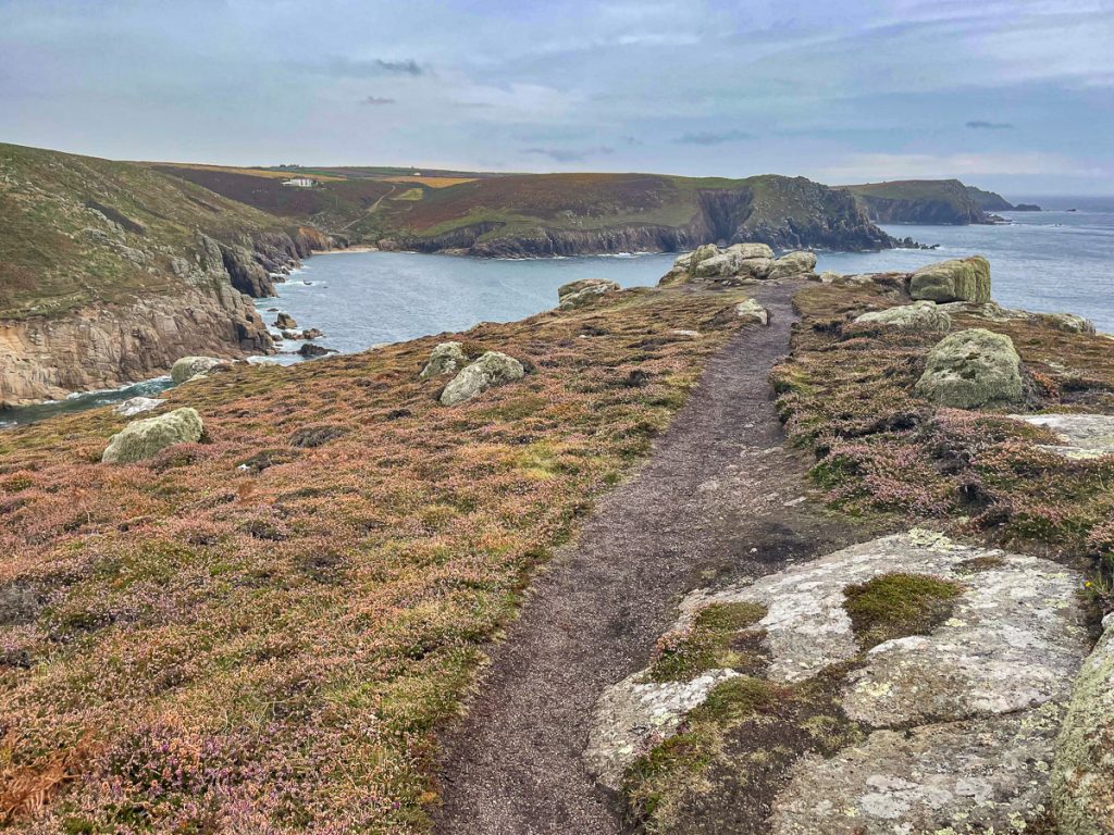
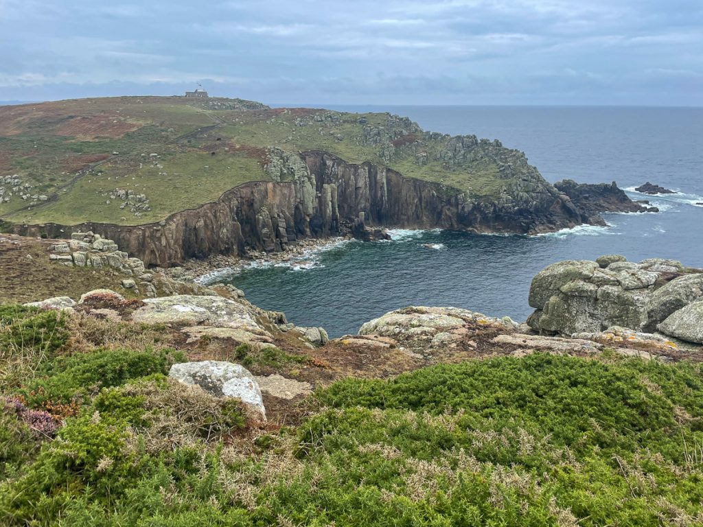
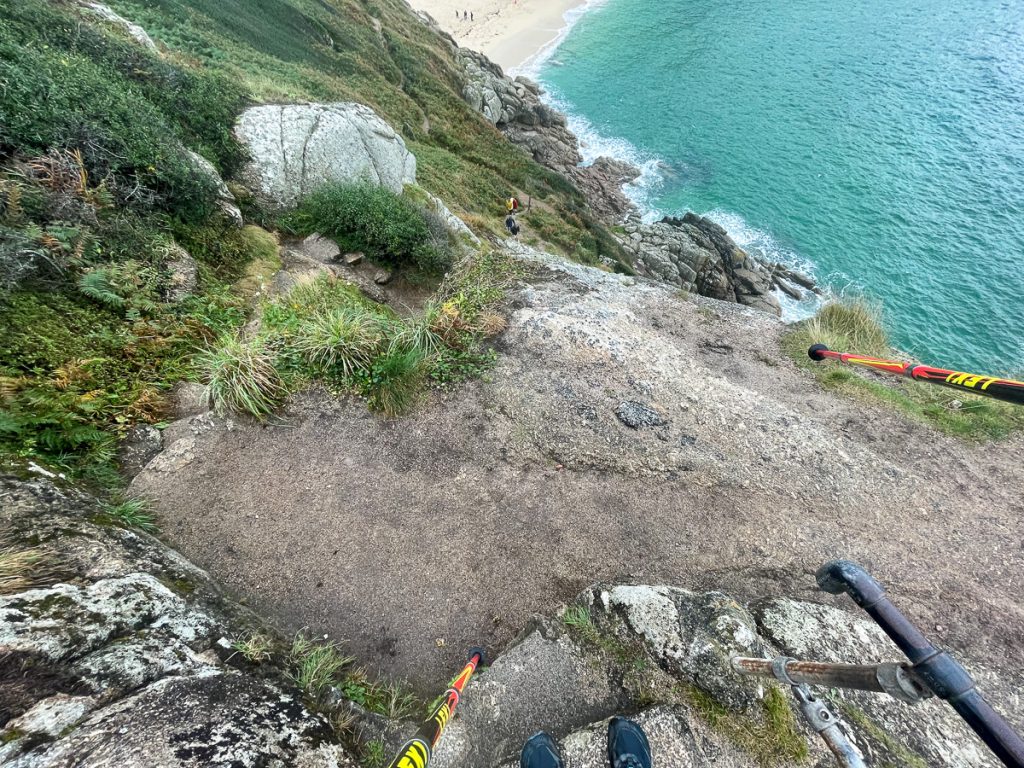
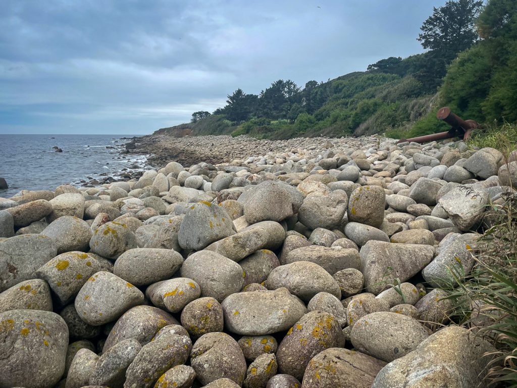
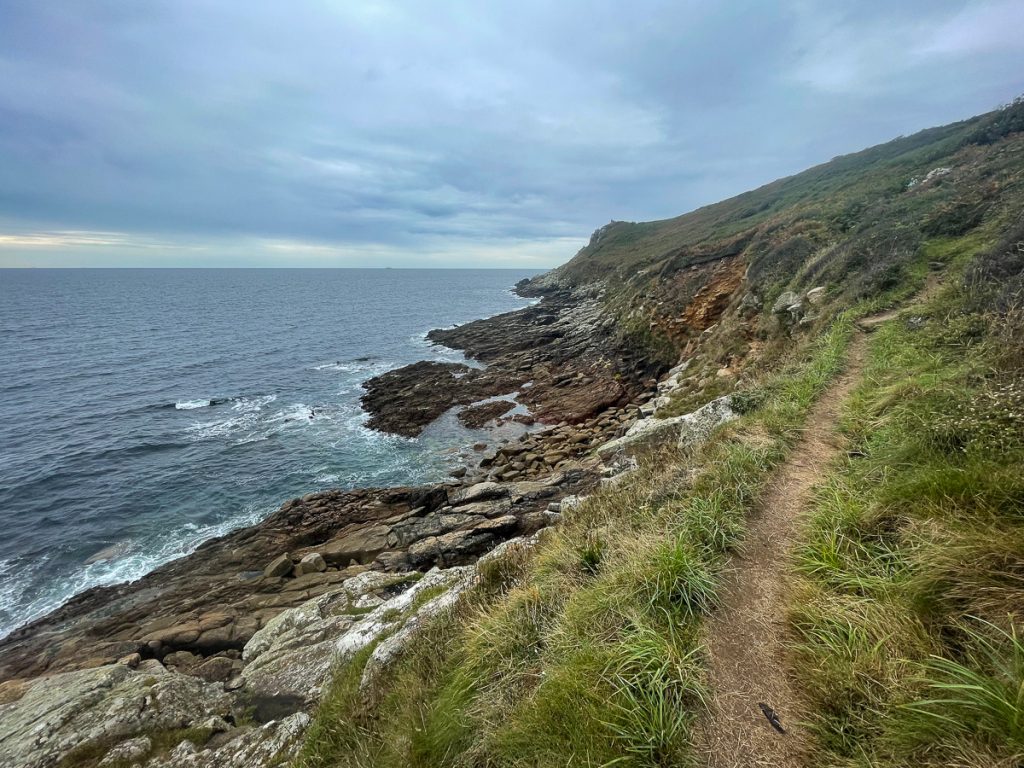
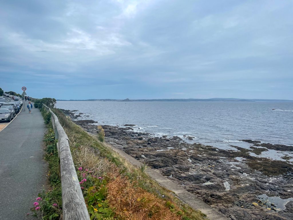
📅 Mon 13 Sep 08:18👁️ NW🌍 Click for Map

Mine rescue info.

📅 Mon 13 Sep 08:19👁️ NW🌍 Click for Map
Heading onwards, Sennen and possibly Lands End just visible

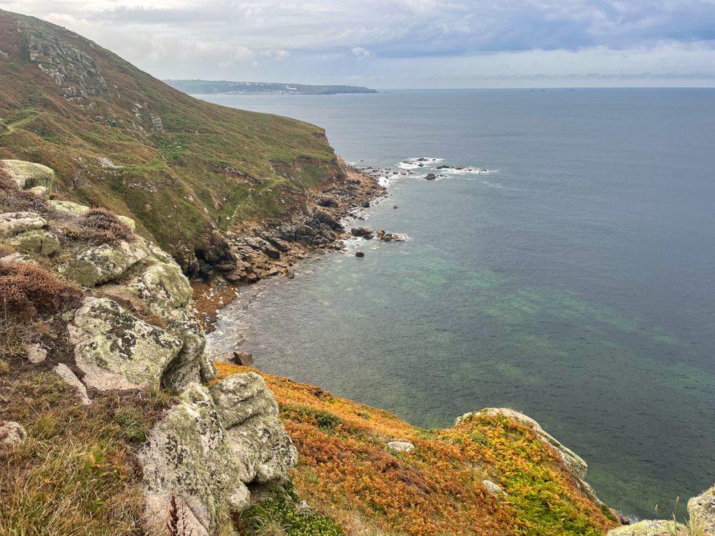
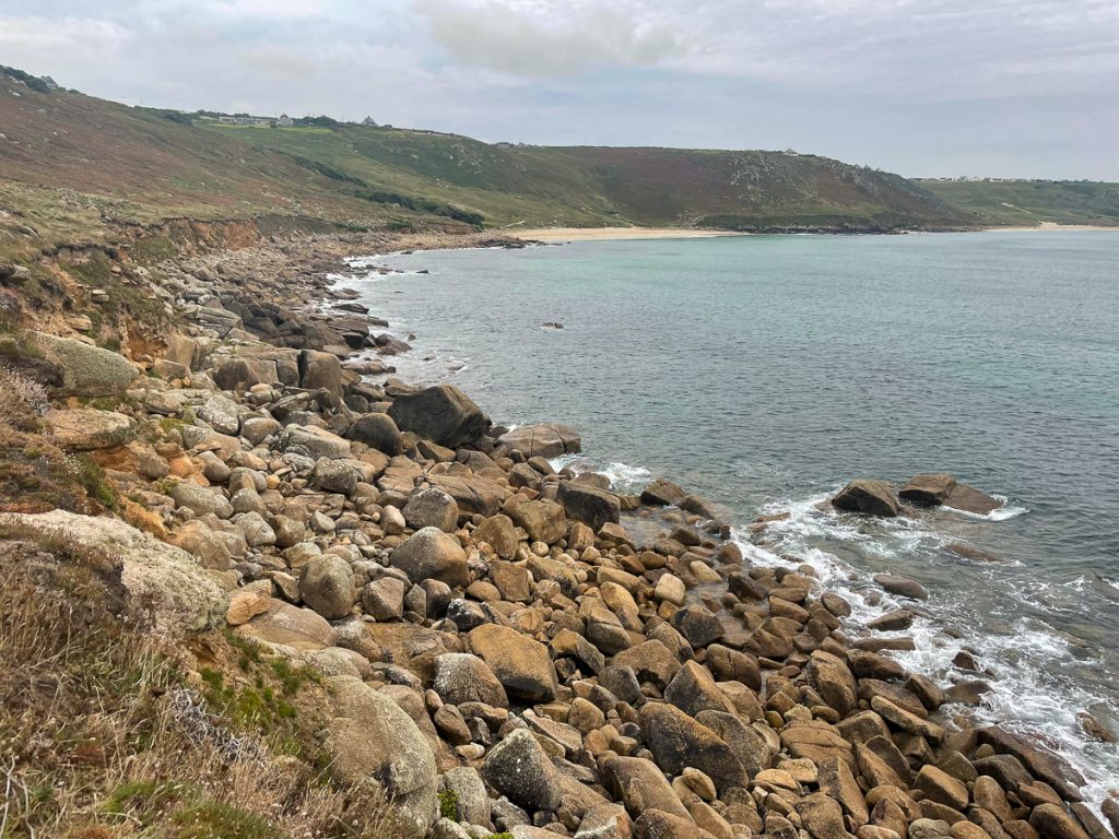
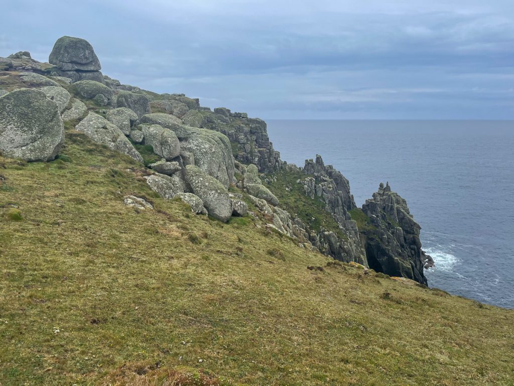
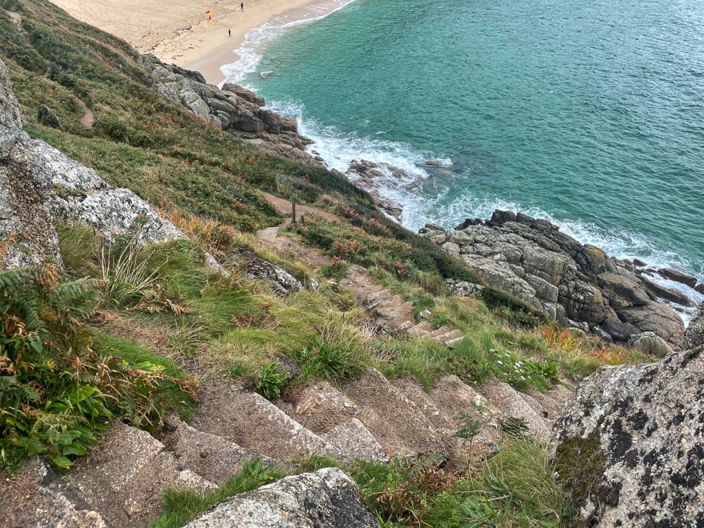
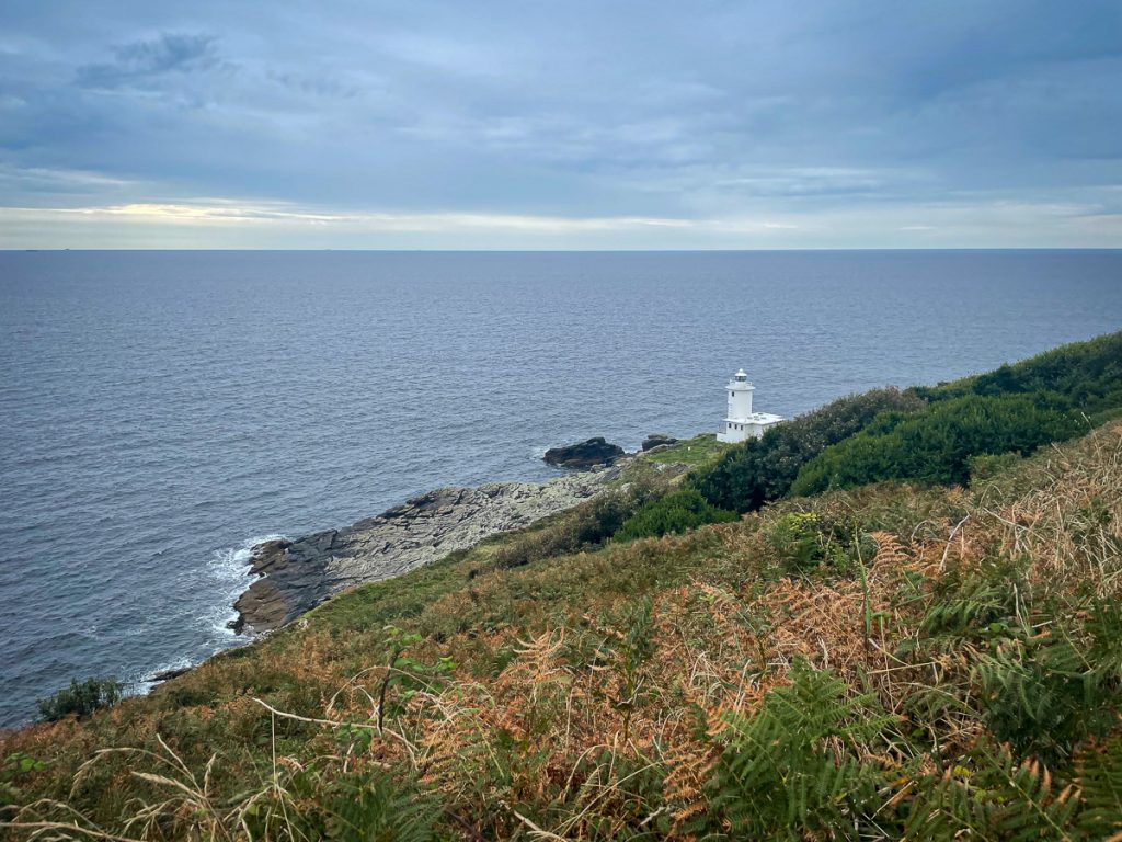
📅 Mon 13 Sep 08:23👁️ S🌍 Click for Map
Looking back to Cape Cornwall

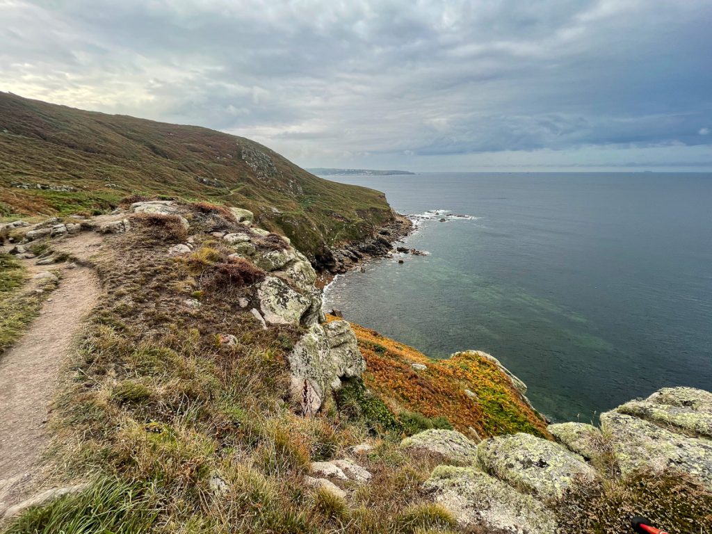
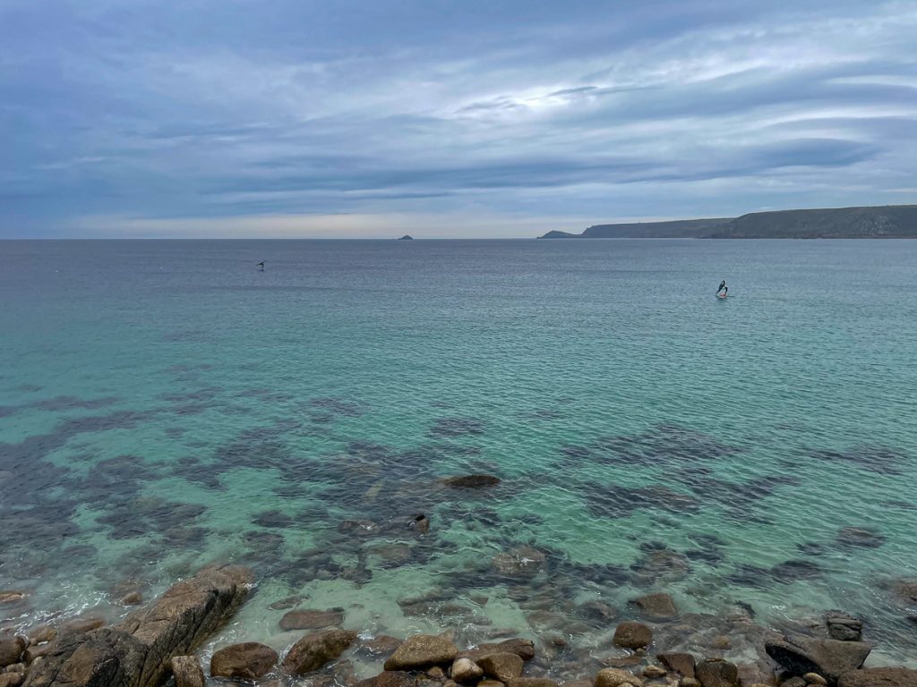
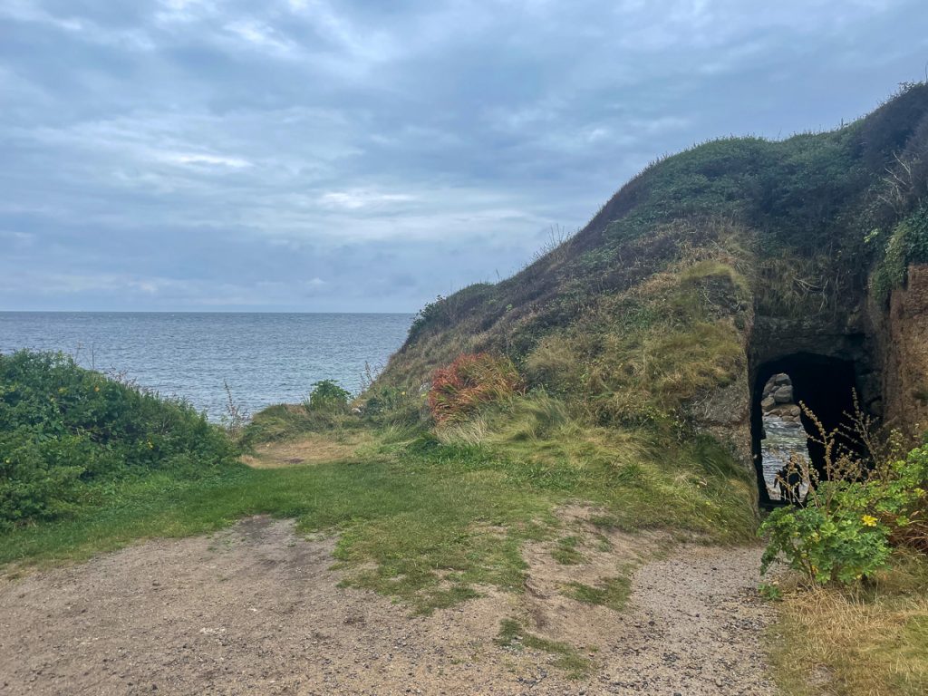
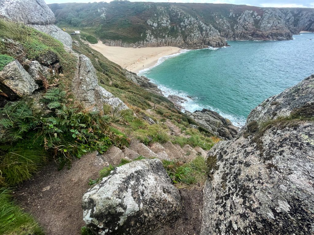
📅 Mon 13 Sep 08:29🌍 Click for Map
The terrain was starting to change, lots of colour here

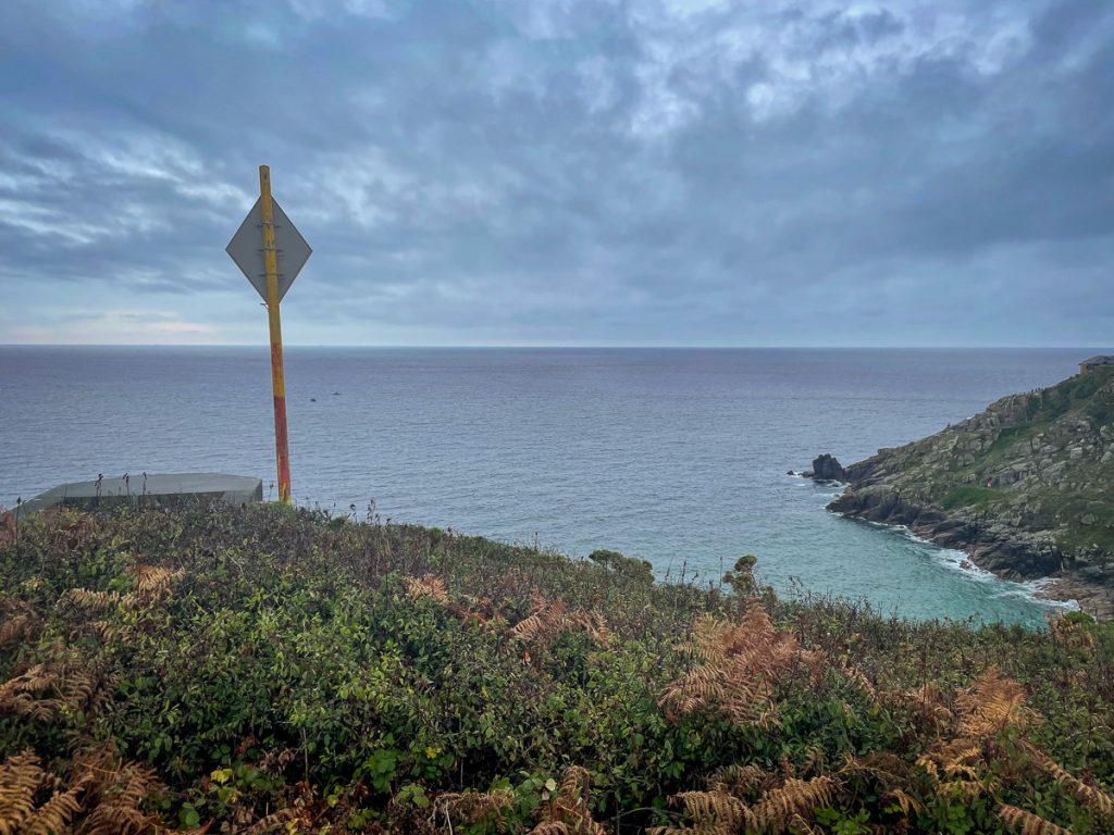
📅 Mon 13 Sep 08:31👁️ S🌍 Click for Map
The clambering isn’t quite over yet… (I loved it really!)

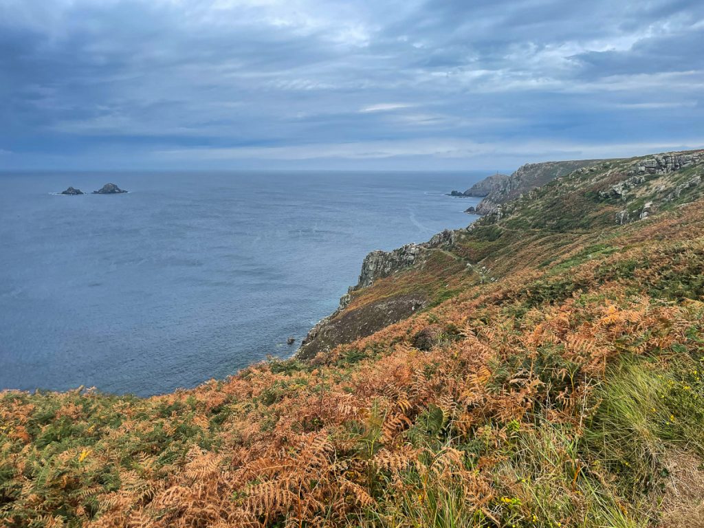
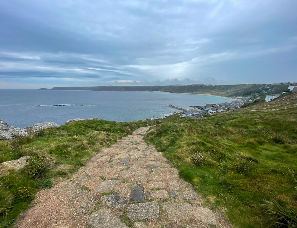
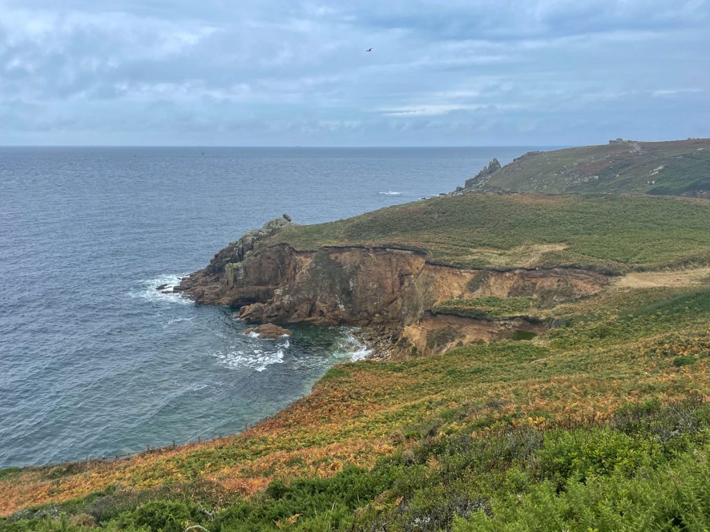
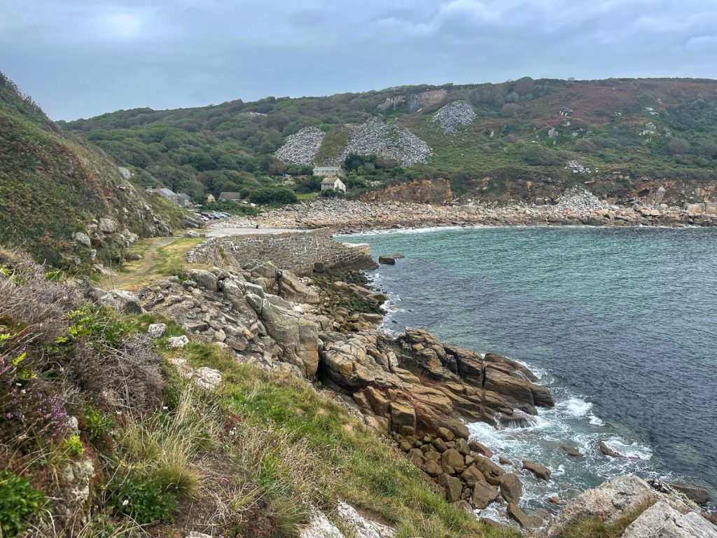
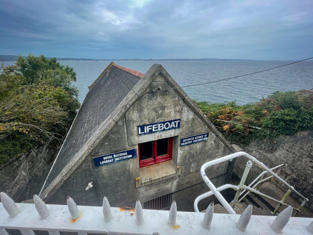
📅 Mon 13 Sep 08:51👁️ S🌍 Click for Map
Boulders on the coast round to Gwynver beach in the distance

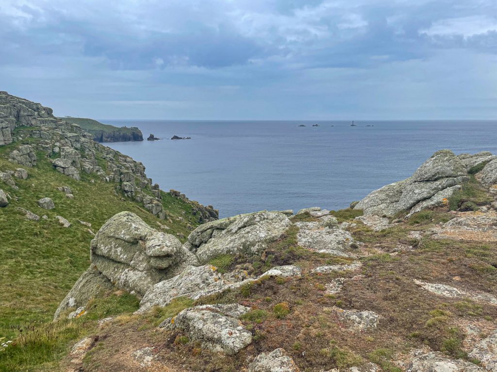
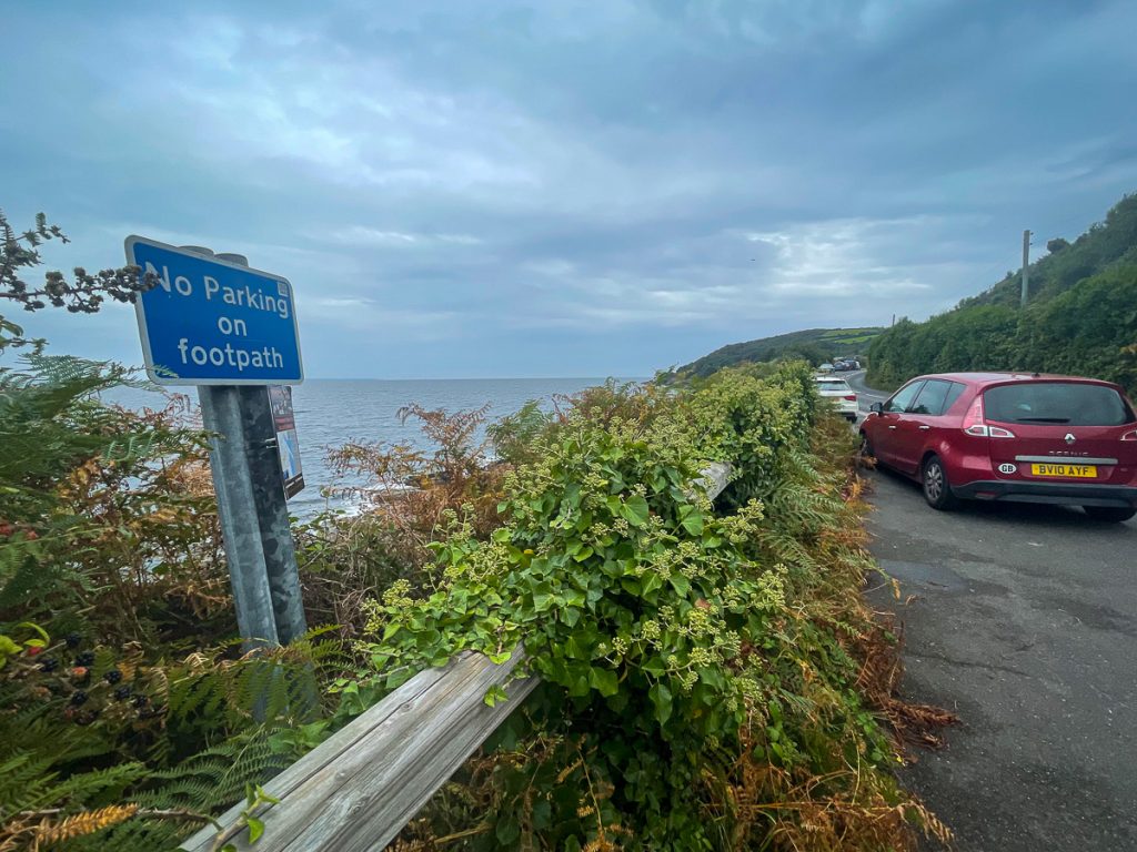
📅 Mon 13 Sep 08:59👁️ SE🌍 Click for Map
Just above Gwynver beach

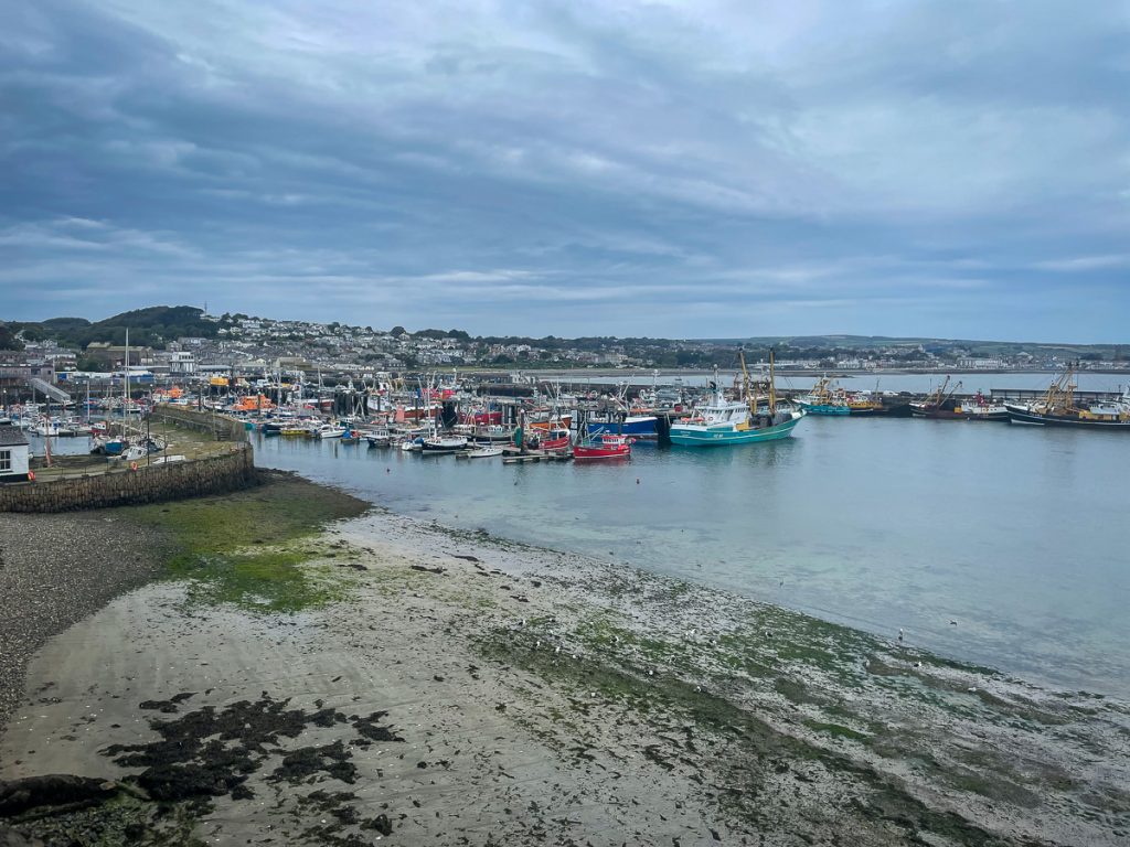
📅 Mon 13 Sep 09:04👁️ S🌍 Click for Map
Wind foil? Wing foil? Looks quite fun whatever it’s called!

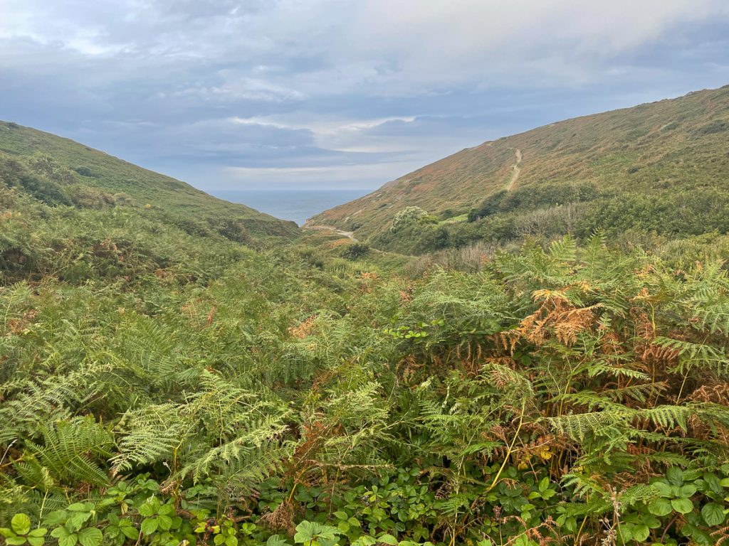
📅 Mon 13 Sep 09:28👁️ N🌍 Click for Map
Top of the hill looking back down towards Sennen, Cape Cornwall in the distance

📅 Mon 13 Sep 09:35👁️ NE🌍 Click for Map
And the other way, Lands End and Longships lighthouse

📅 Mon 13 Sep 09:36👁️ SW🌍 Click for Map
The sign, Lands End.

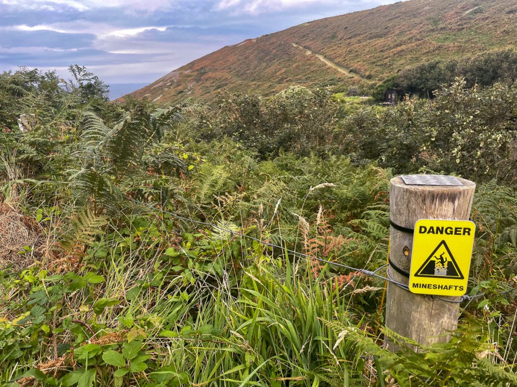
📅 Mon 13 Sep 09:52👁️ NW🌍 Click for Map
Longships Lighthouse, and some tourism things.

📅 Mon 13 Sep 09:52👁️ W🌍 Click for Map
The path south out of Lands End

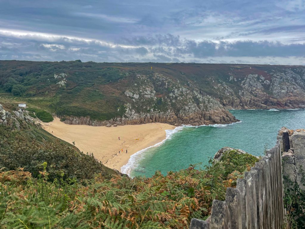
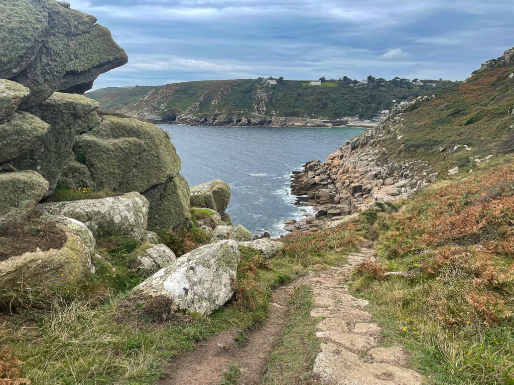
📅 Mon 13 Sep 10:09👁️ SE🌍 Click for Map
Amazing coastal rock formations

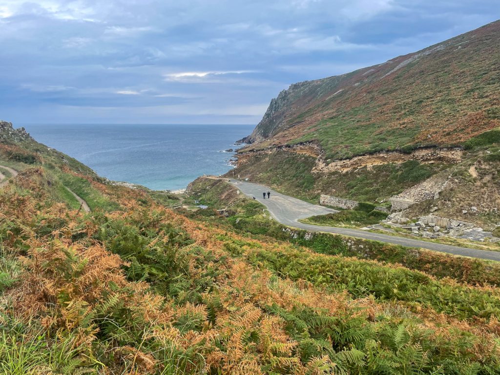
📅 Mon 13 Sep 10:37👁️ SW🌍 Click for Map
And even more – like the land was just smashed into the sea from above

📅 Mon 13 Sep 10:41👁️ S🌍 Click for Map
A beach tunnel at Porthgwarra

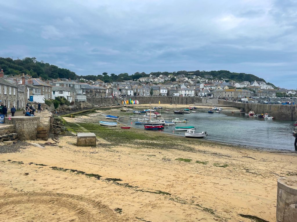
📅 Mon 13 Sep 10:58👁️ S🌍 Click for Map
The view back towards Porthgwarra

📅 Mon 13 Sep 11:02👁️ SW🌍 Click for Map
Porthcurno from the Minack Theatre

📅 Mon 13 Sep 11:21👁️ NE🌍 Click for Map
The path down looks (is) quite… sketchy!

📅 Mon 13 Sep 11:23👁️ W🌍 Click for Map
I’ve come up this around midnight in January. Twice.

📅 Mon 13 Sep 11:24👁️ NE🌍 Click for Map
Cable warning sign, a hint at Porthcurno’s history

📅 Mon 13 Sep 11:31👁️ S🌍 Click for Map
Penberth Cove

📅 Mon 13 Sep 11:54👁️ S🌍 Click for Map
Heading east now, towards Penzance

📅 Mon 13 Sep 12:08👁️ E🌍 Click for Map
St Loy’s Cove – fun times on the boulders here!

📅 Mon 13 Sep 12:31👁️ SW🌍 Click for Map
Tater-du Lighthouse

📅 Mon 13 Sep 13:02👁️ S🌍 Click for Map
📅 Mon 13 Sep 13:15👁️ SW🌍 Click for Map
Lamorna Cove

📅 Mon 13 Sep 13:21👁️ N🌍 Click for Map
Back towards Lamorna Cove

📅 Mon 13 Sep 14:00👁️ W🌍 Click for Map
Mousehole Harbour

📅 Mon 13 Sep 14:40👁️ N🌍 Click for Map
The path to Penlee

📅 Mon 13 Sep 14:47👁️ NE🌍 Click for Map
Penlee Lifeboat Station – a reminder of the tradgedy of 1981.

📅 Mon 13 Sep 14:52👁️ NE🌍 Click for Map
Idiots, parking on the footpath.

📅 Mon 13 Sep 15:00👁️ SE🌍 Click for Map
Newlyn (Penzance) Harbour

📅 Mon 13 Sep 15:08👁️ N🌍 Click for Map