St Ives to Cape Cornwall

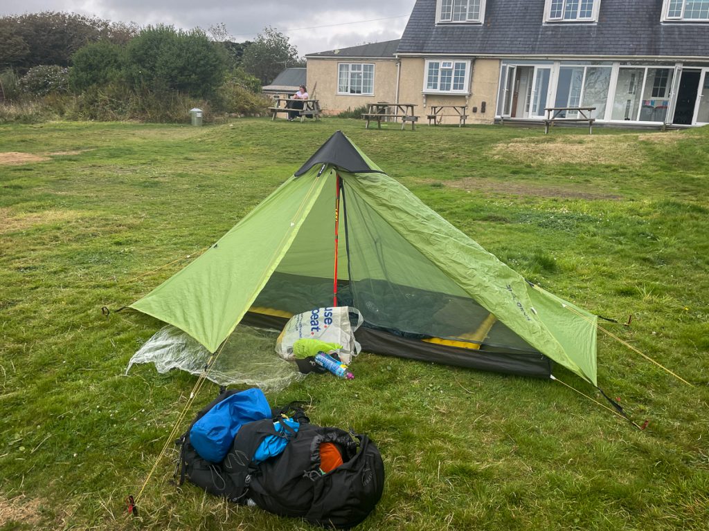
Day 8 – Sunday 12th September 2021
Start Time10:15am
Total Distance20.07 miles
Elevation4037 feet
Total Time7 hours 22 minutes
Moving Time5 hours 39 minutes (16:53/mile)
Steps40096

Treswithian, Camborne. Waiting for the bus.

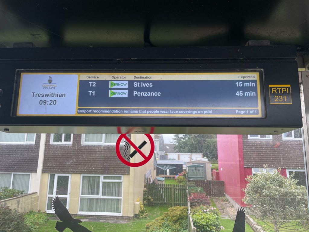
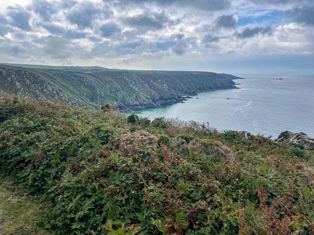
📅 Sun 12 Sep 09:20👁️ S🌍 Click for Map
Welcome to St Ives Bus Station

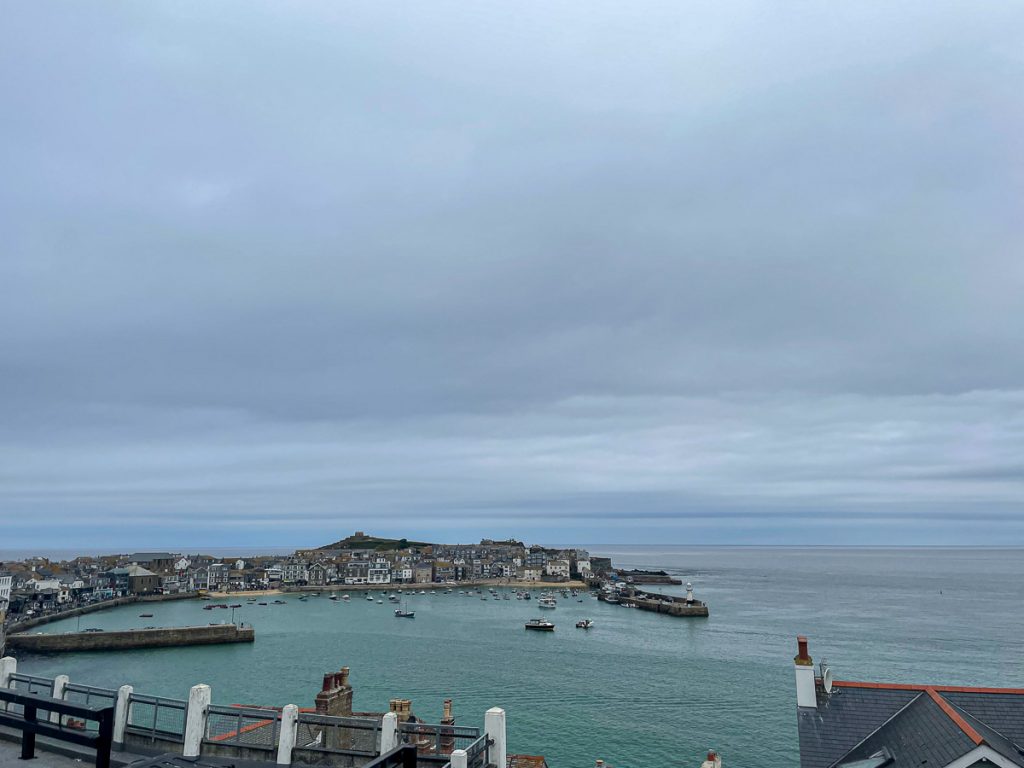
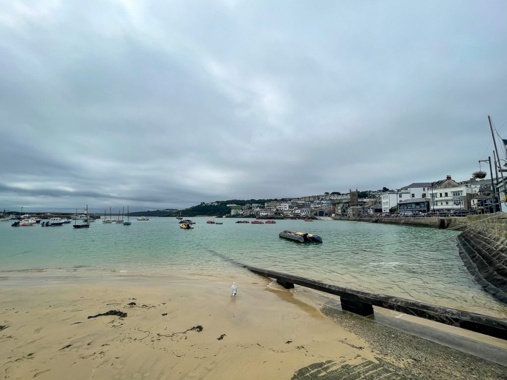
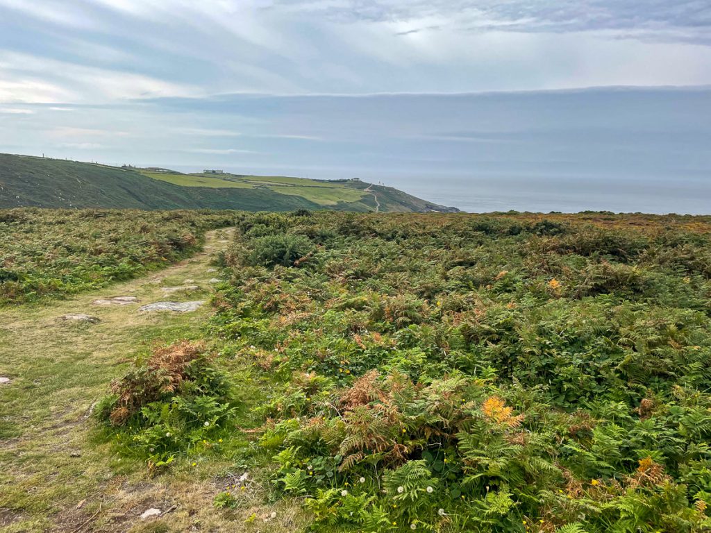
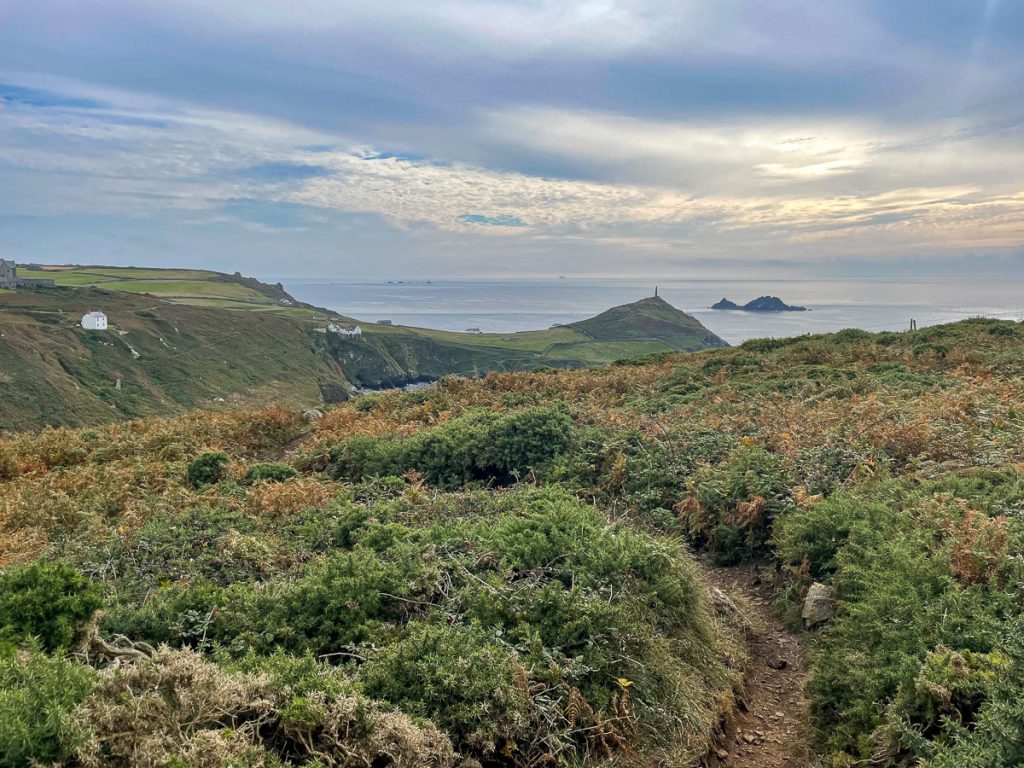
📅 Sun 12 Sep 10:12👁️ N🌍 Click for Map
Seriously. Look at the size of this blighter!

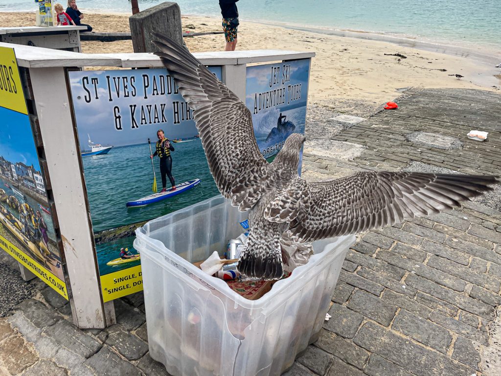
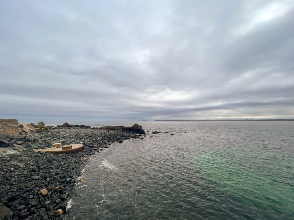
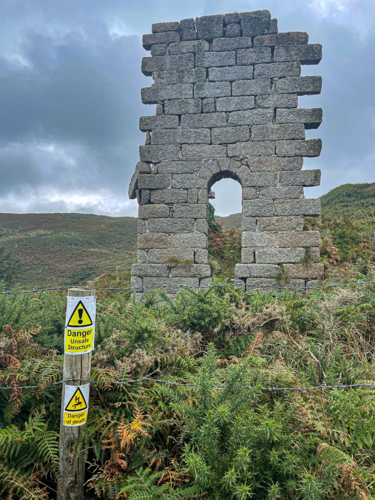
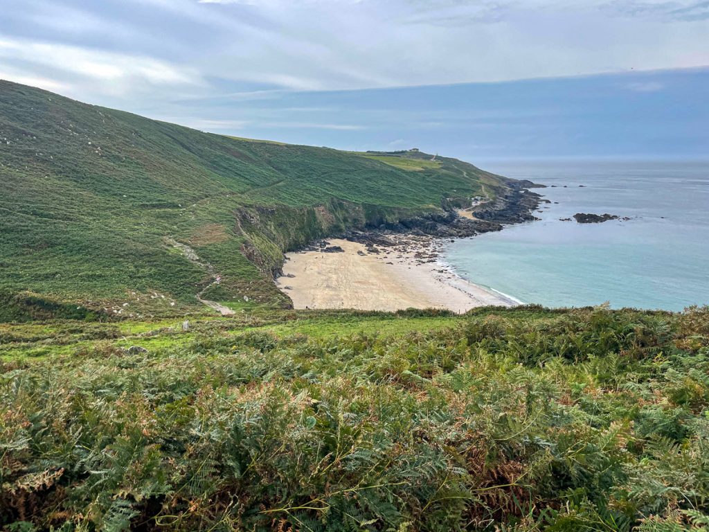
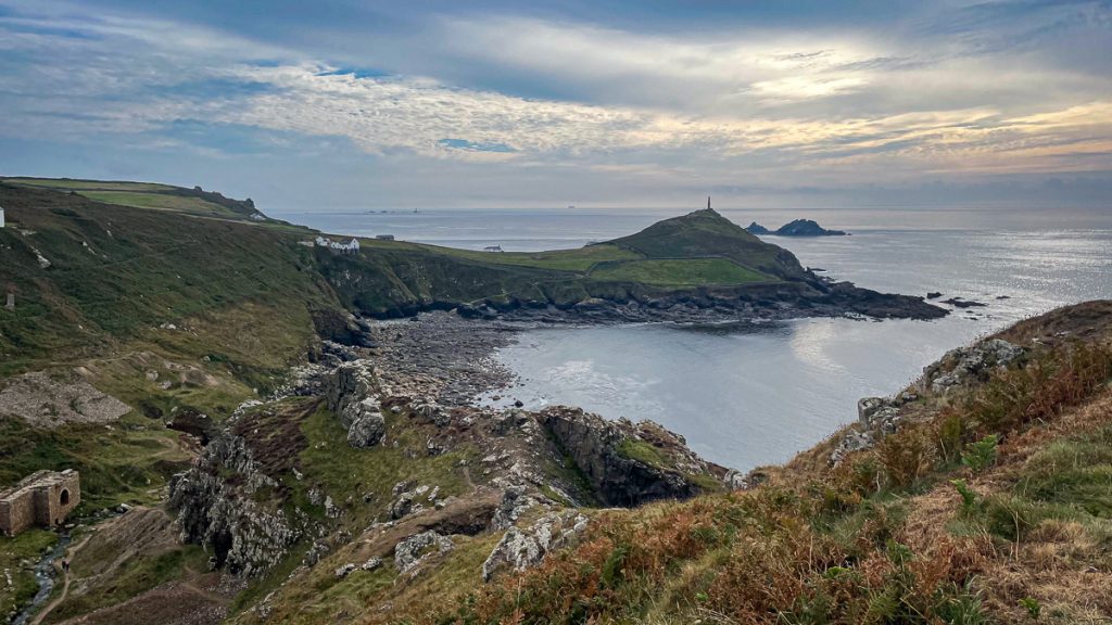
📅 Sun 12 Sep 10:20👁️ E🌍 Click for Map
The tide was mostly in at St Ives Harbour

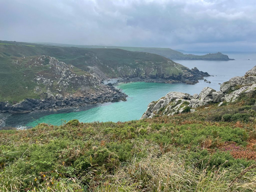
geodata latlon=’50.21483,-5.47933′ time=’Sun 12 Sep 10:20′ orientation=’SE’]
That pipe kind-of detracts from the beauty, but the place is really lovely to look at

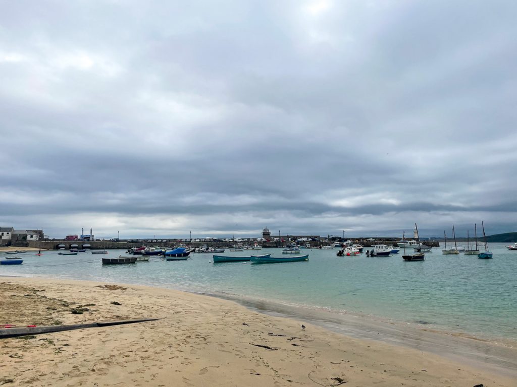
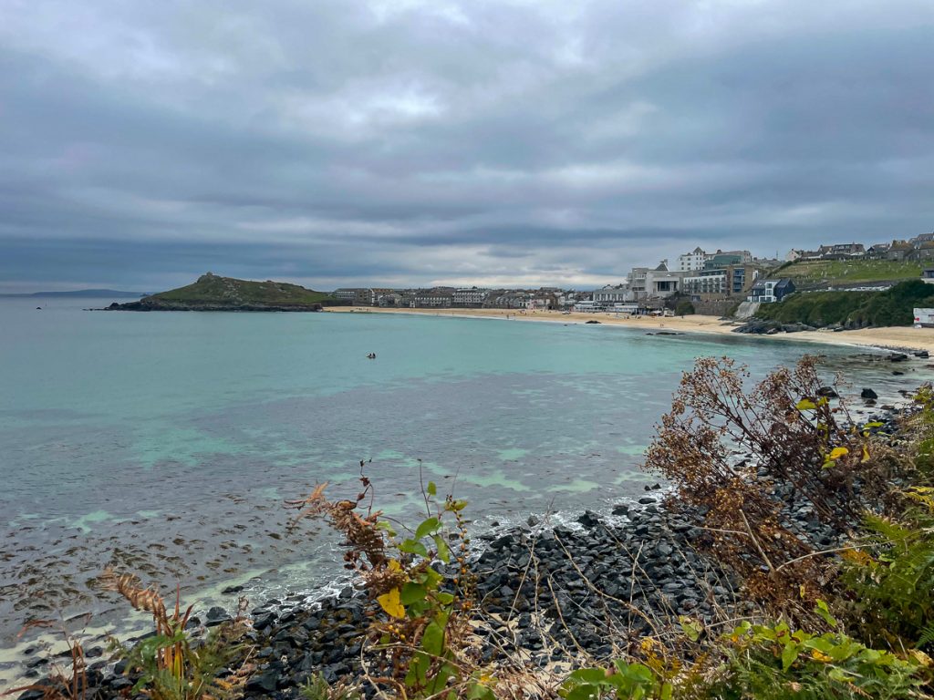
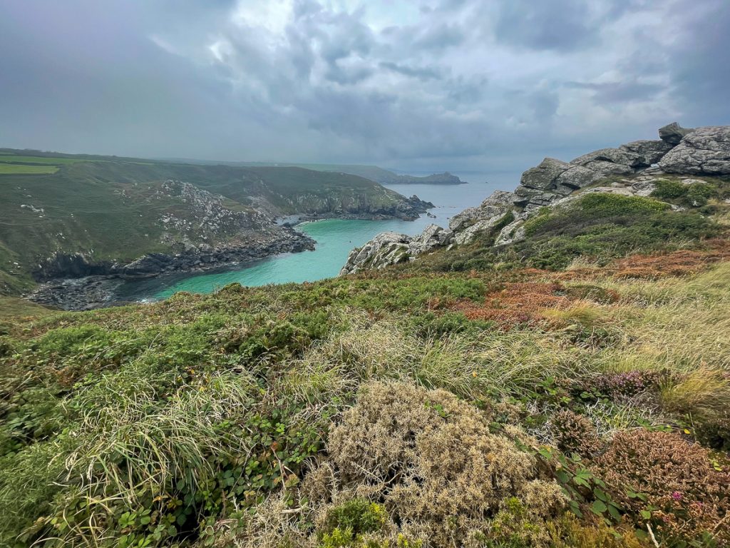
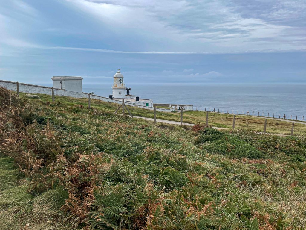
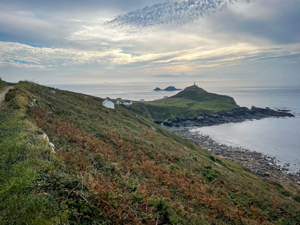
📅 Sun 12 Sep 10:21👁️ S🌍 Click for Map
Round the head at St Ives

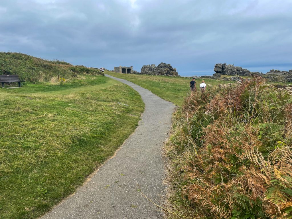
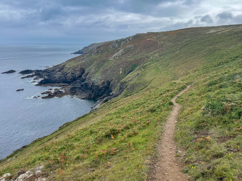
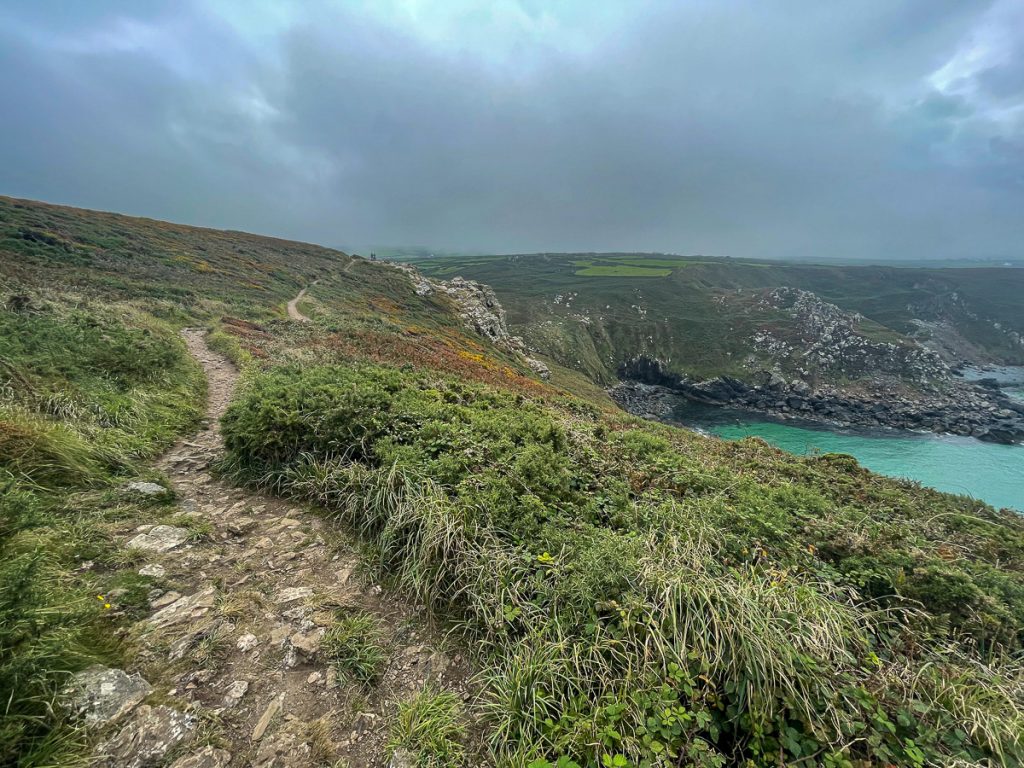
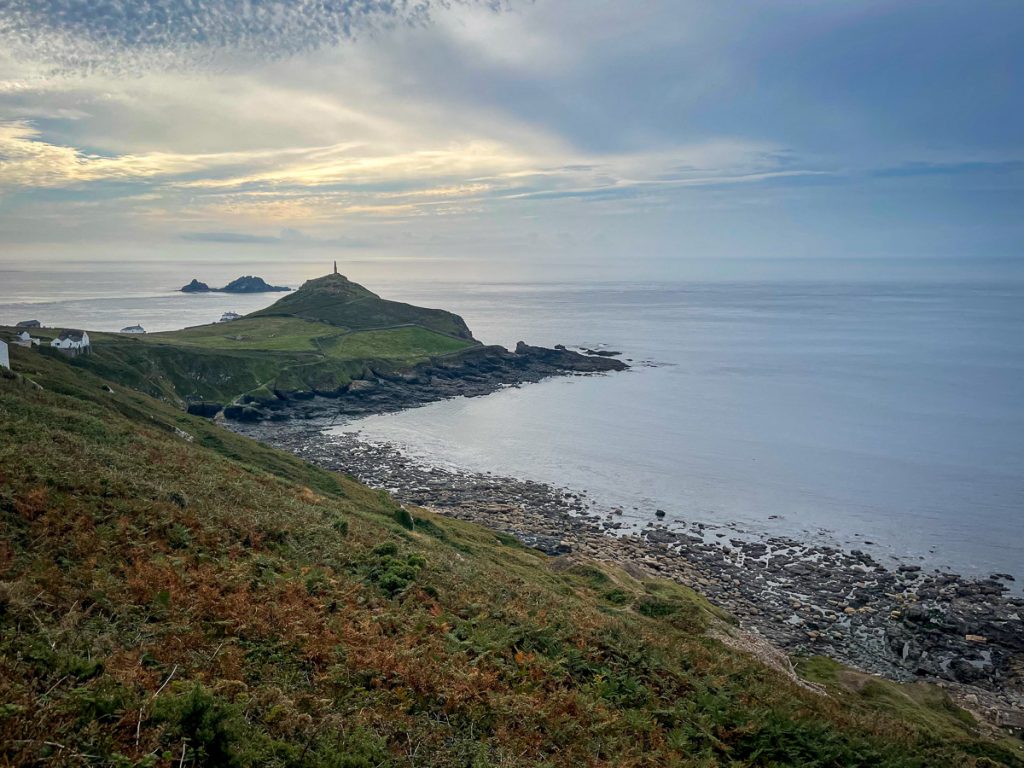
📅 Sun 12 Sep 10:38👁️ NE🌍 Click for Map
Just heading out of St Ives, Porthmeor beach and St Ives head visible.

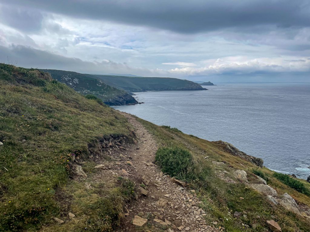
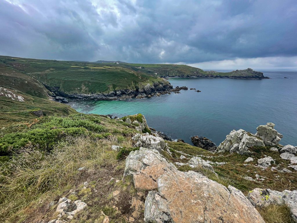
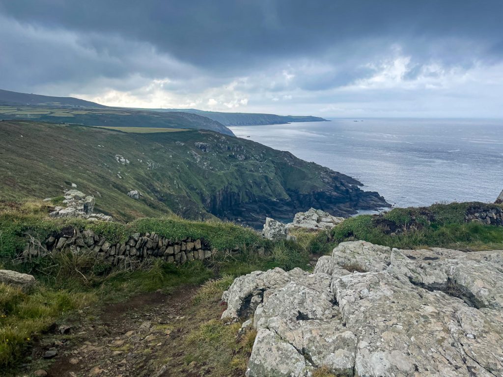
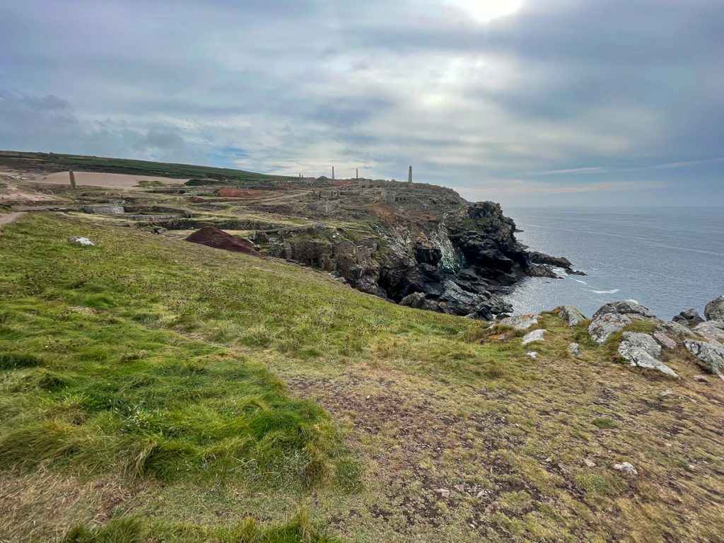
📅 Sun 12 Sep 10:58👁️ E🌍 Click for Map
The path out of St Ives towards Zennor. I don’t know what all the fuss is about?!

📅 Sun 12 Sep 10:58👁️ NW🌍 Click for Map
Beginning to get rockier

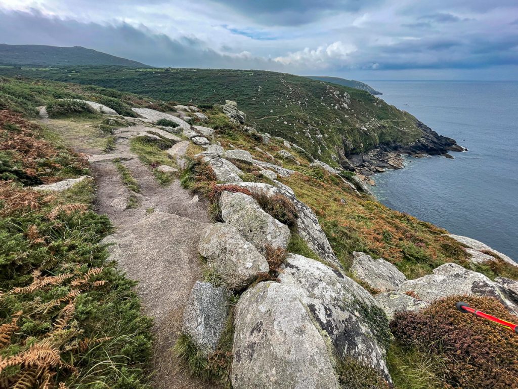
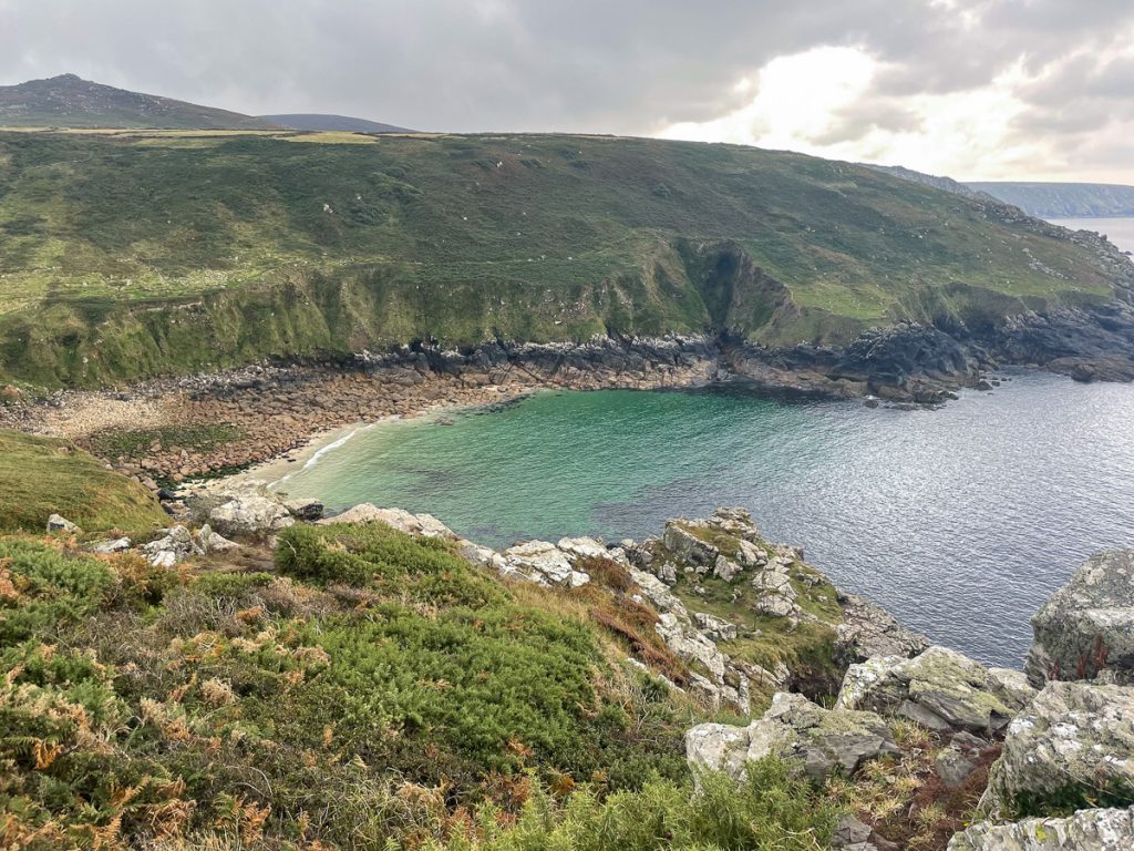
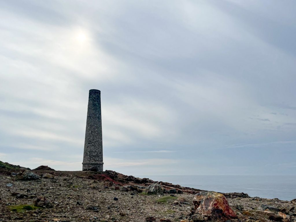
📅 Sun 12 Sep 11:10👁️ W🌍 Click for Map
Fewer people, rougher terrain – onwards to Zennor

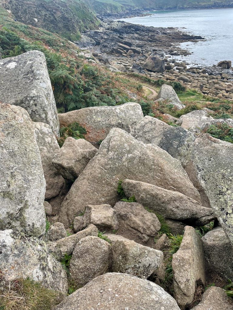
📅 Sun 12 Sep 11:18👁️ SW🌍 Click for Map
Starting to meet a few boulders now

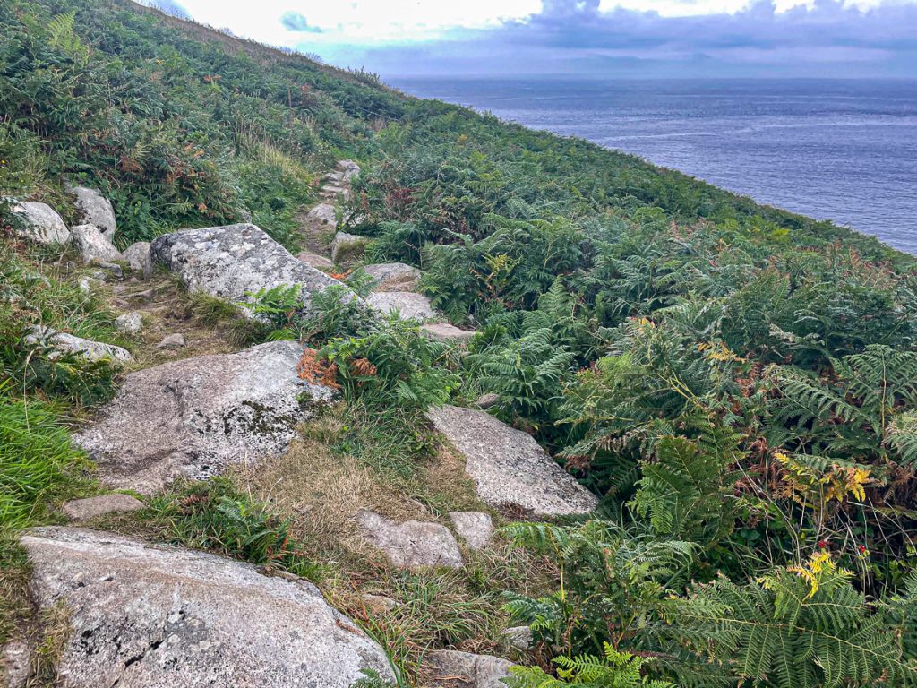
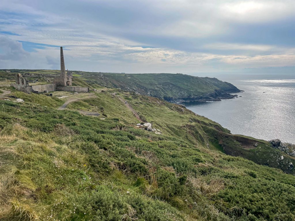
📅 Sun 12 Sep 11:38👁️ W🌍 Click for Map
Nice little bridge. Typical mid-way terrain – clambering rocks and steps.

📅 Sun 12 Sep 11:59👁️ S🌍 Click for Map
I took a rare breather here and just sat down for 5 minutes to enjoy the view

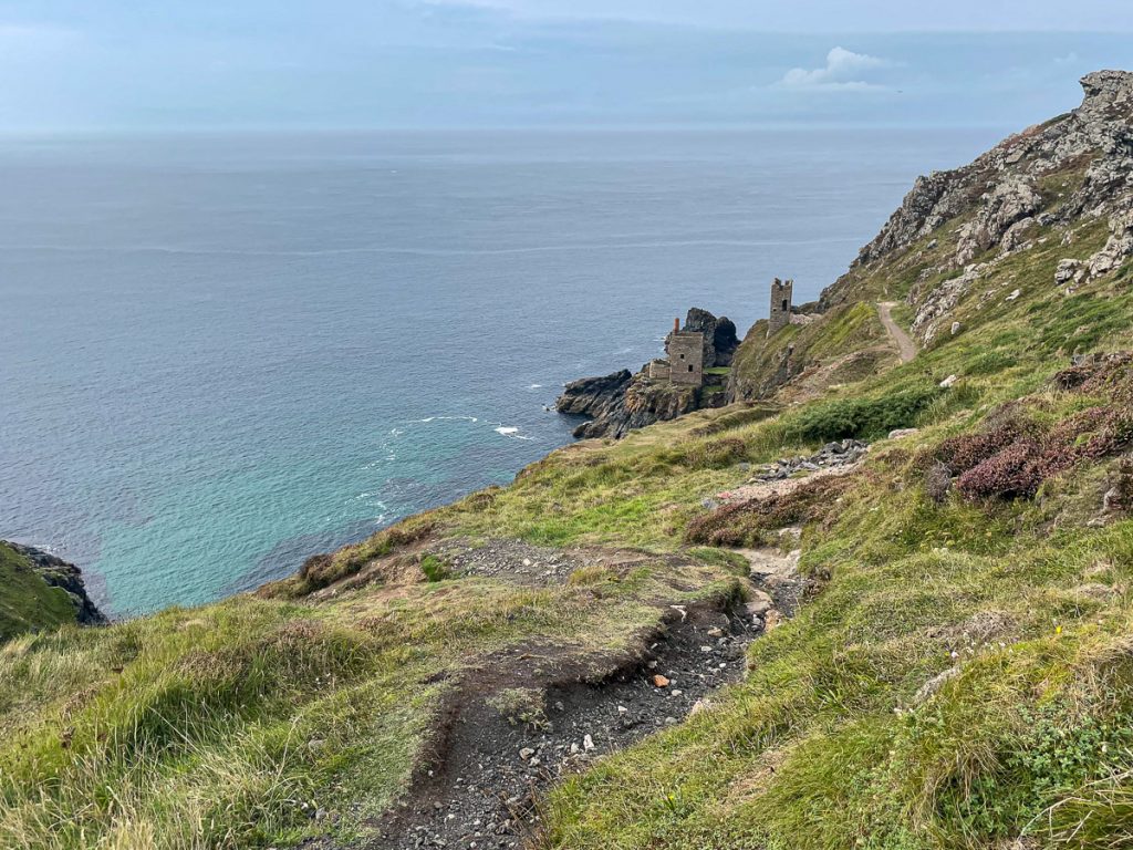
📅 Sun 12 Sep 12:12👁️ NE🌍 Click for Map
And this was the other direction – Zennor head in the distance

📅 Sun 12 Sep 12:12👁️ SW🌍 Click for Map
Lumps and bumps in the path (and my walking pole in the shot too!)

📅 Sun 12 Sep 12:30👁️ SW🌍 Click for Map
Now we’re talking!

📅 Sun 12 Sep 12:42👁️ SW🌍 Click for Map
It always seems to be grey when I’m here, but it just seems to add to the landscape

📅 Sun 12 Sep 13:06👁️ SW🌍 Click for Map
On Zennor Head, looking to Pendour Cove
📅 Sun 12 Sep 13:06👁️ SW🌍 Click for Map
The path off Zennor Head

📅 Sun 12 Sep 13:06👁️ S🌍 Click for Map
Gurnard’s Head in the distance

📅 Sun 12 Sep 13:30👁️ SW🌍 Click for Map
Gurnard’s Head mine ruins

📅 Sun 12 Sep 13:54🌍 Click for Map

Gurnard’s Head Mine.

Pendeen visible on the far headland

📅 Sun 12 Sep 14:04👁️ SW🌍 Click for Map
Looking down to Porthmeor Cove

📅 Sun 12 Sep 14:13👁️ SW🌍 Click for Map
More typical St Ives-Pendeen pathway!
📅 Sun 12 Sep 14:23👁️ NW🌍 Click for Map
📅 Sun 12 Sep 14:53👁️ SW🌍 Click for Map
Pendeen Watch lighthouse visible now

📅 Sun 12 Sep 15:33👁️ W🌍 Click for Map
Portheras Cove

📅 Sun 12 Sep 15:40👁️ W🌍 Click for Map
The lighthouse! This marks the end of the difficult stretch

📅 Sun 12 Sep 16:03👁️ W🌍 Click for Map
Going south now, towards Lands End (but looking back to the lighthouse)

📅 Sun 12 Sep 16:13👁️ N🌍 Click for Map
Geevor tin mine and mining heritage site

📅 Sun 12 Sep 16:15👁️ SW🌍 Click for Map
📅 Sun 12 Sep 16:18👁️ SW🌍 Click for Map
📅 Sun 12 Sep 16:19👁️ S🌍 Click for Map
📅 Sun 12 Sep 16:19👁️ SW🌍 Click for Map
📅 Sun 12 Sep 16:23👁️ W🌍 Click for Map
📅 Sun 12 Sep 16:40👁️ SW🌍 Click for Map
The Crown engine houses at Botallack mine

📅 Sun 12 Sep 16:42👁️ NW🌍 Click for Map
Cape Cornwall (and the picture that is the front cover of my book!)

📅 Sun 12 Sep 16:55👁️ SW🌍 Click for Map
📅 Sun 12 Sep 16:57👁️ SW🌍 Click for Map
📅 Sun 12 Sep 17:07👁️ SW🌍 Click for Map
📅 Sun 12 Sep 17:07👁️ W🌍 Click for Map
The Lanshan 1 providing a perfect sleep spot for just 800g

📅 Sun 12 Sep 17:58👁️ E🌍 Click for Map
Lands End Youth Hostel kitchen – not bad!

📅 Sun 12 Sep 20:34👁️ E🌍 Click for Map